Near Frederick in Frederick County, Maryland — The American Northeast (Mid-Atlantic)
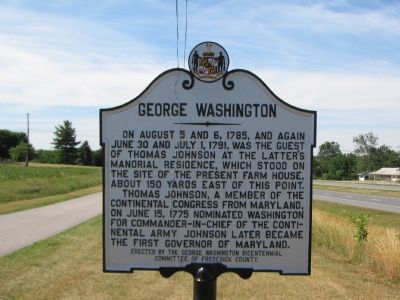
George Washington
Erected by George Washington Bicentennial Committee of Frederick County.
Topics and series. This historical marker is listed in these topic lists: Colonial Era • Patriots & Patriotism • War, US Revolutionary. In addition, it is included in the Former U.S. Presidents: #01 George Washington, and the George Washington Slept Here series lists. A significant historical date for this entry is June 30, 1892.
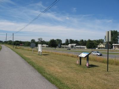
Location. 39° 28.103′ N, 77° 24.097′ W. Marker is near Frederick, Maryland, in Frederick County. Marker is at the intersection of Catoctin Mountain Highway (U.S. 15) and Willow Road, on the right when traveling north on Catoctin Mountain Highway. The marker is located at a pull off the divided highway which connects to a private entrance to the farm. Touch for map. Marker is in this post office area: Frederick MD 21701, United States of America. Touch for directions.
Other nearby markers. At least 8 other markers are within 2 miles of this marker, measured as the crow flies. Richfield (a few steps from this marker); a different marker also named Richfield (within shouting distance of this marker); The Land We Call Home (approx. ¾ mile away); Watercress Farming (approx. 1.8 miles away); Boiler House (approx. 1.8 miles away); Welcome to Fountain Rock Lime Kilns (approx. 1.9 miles away); The Quarry (approx. 1.9 miles away); Working the Kilns (approx. 1.9 miles away). Touch for a list and map of all markers in Frederick.
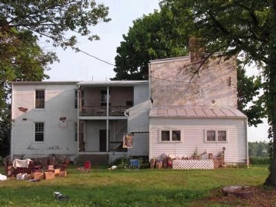
Photographed By Allen C. Browne, July 5, 2010
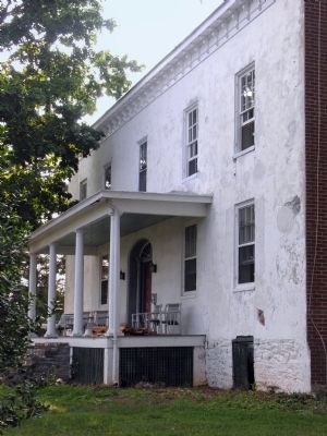
5. Richfield
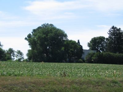
The house George Washington Slept in twice burned down on May 22, 1818. It was replaced by an Italianate house that stood here during the Civil War and was the birthplace of Admiral Schley, the Hero of Santiago. That house was destroyed by a tornado in 1929 and was substantially rebuilt in the same style.
Credits. This page was last revised on November 22, 2019. It was originally submitted on July 4, 2007, by Craig Swain of Leesburg, Virginia. This page has been viewed 2,391 times since then and 42 times this year. Photos: 1, 2, 3. submitted on July 4, 2007, by Craig Swain of Leesburg, Virginia. 4, 5. submitted on August 28, 2013, by Allen C. Browne of Silver Spring, Maryland. • J. J. Prats was the editor who published this page.
