Carlisle in Cumberland County, Pennsylvania — The American Northeast (Mid-Atlantic)
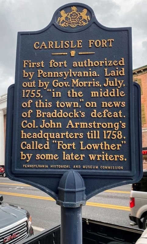
Carlisle Fort
Erected 1961 by Pennsylvania Historical and Museum Commission.
Topics and series. This historical marker is listed in these topic lists: Colonial Era • Forts and Castles • War, French and Indian. In addition, it is included in the Braddock’s Road and Maj. Gen. Edward Braddock, and the Pennsylvania Historical and Museum Commission series lists. A significant historical year for this entry is 1755.
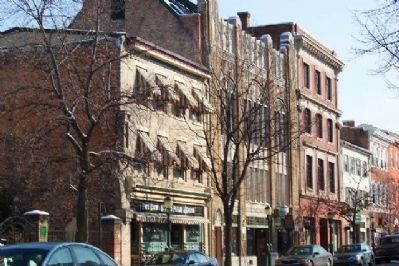
Location. 40° 12.1′ N, 77° 11.446′ W. Marker is in Carlisle, Pennsylvania, in Cumberland County. Marker is on High Street (U.S. 11), on the right when traveling west. Marker is east of Pitt Street. Touch for map. Marker is at or near this postal address: 33 W High Street, Carlisle PA 17013, United States of America. Touch for directions.
Other nearby markers. At least 8 other markers are within walking distance of this marker. Prelude to Gettysburg (a few steps from this marker); Shell and Be Damned (a few steps from this marker); The Carlisle Theatre (within shouting distance of this marker); Carlisle's 250th Anniversary Mural (within shouting distance of this marker); Centenary Building (within shouting distance of this marker); Hot-Chee Dogs (within shouting distance of this marker); Cumberland County Historical Society & Hamilton Library Association (within shouting distance of this marker); Health Through History (within shouting distance of this marker). Touch for a list and map of all markers in Carlisle.
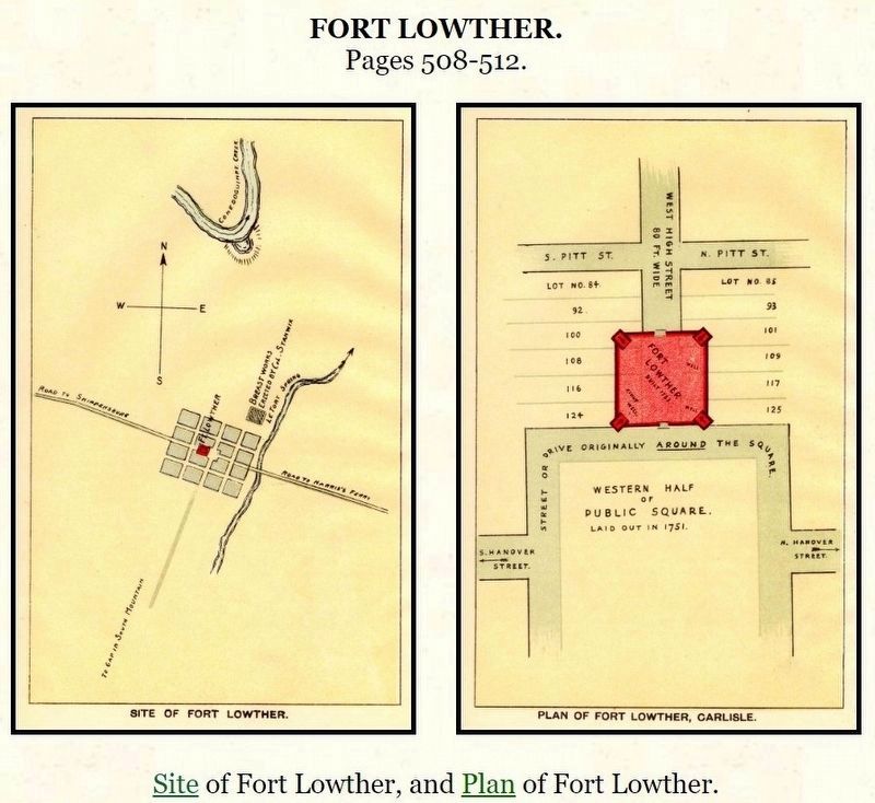
Also see . . . “Report of the Commission to Locate the Site of the Frontier Forts of Pennsylvania”. (Submitted on June 11, 2020, by Larry Gertner of New York, New York.)
Credits. This page was last revised on January 16, 2022. It was originally submitted on February 12, 2009, by William Fischer, Jr. of Scranton, Pennsylvania. This page has been viewed 1,676 times since then and 109 times this year. Photos: 1. submitted on December 19, 2021, by Shane Oliver of Richmond, Virginia. 2. submitted on February 12, 2009, by William Fischer, Jr. of Scranton, Pennsylvania. 3. submitted on June 11, 2020, by Larry Gertner of New York, New York. • Kevin W. was the editor who published this page.


