Ticonderoga in Essex County, New York — The American Northeast (Mid-Atlantic)
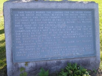
Grand Carry Landing
The French saw mill, the first ever built in the Champlain Valley, was erected in 1756 at the foot of the falls on the site of the present mills. In this saw mill, Abercromby had his headquarters during his disastrous battle with Montcalm’s forces at the French lines July 8, 1758.
Washington and Franklin passed over this Military Road during the Revolution.
Presented to the Ticonderoga Historical Society for the citizens of the town by the Ticonderoga Paper Company. Unveiled by the New York State Historical Association, October 4, 1910.
Erected 1910 by Ticonderoga Paper Company.
Topics. This historical marker is listed in these topic lists: Native Americans • War, French and Indian • War, US Revolutionary. A significant historical date for this entry is July 8, 1700.
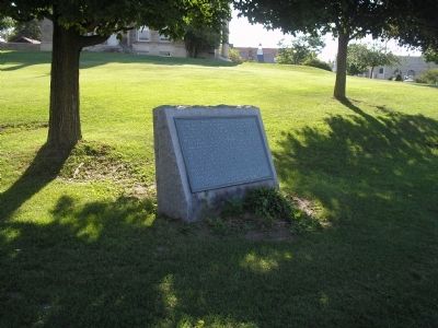
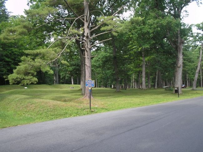
Location. 43° 50.904′ N, 73° 25.294′ W. Marker is in Ticonderoga, New York, in Essex County. Marker is on Montcalm Street, on the right when traveling east. Touch for map. Marker is in this post office area: Ticonderoga NY 12883, United States of America. Touch for directions.
Other nearby markers. At least 8 other markers are within walking distance of this marker. Lakes to Locks Passage (within shouting distance of this marker); a different marker also named Lakes to Locks Passage (within shouting distance of this marker); Hon. Clayton Harris DeLano (about 300 feet away, measured in a direct line); Tower Avenue Grindstones (about 300 feet away); Rivière de La Chute (about 400 feet away); Sharing the Flow (about 600 feet away); The Power of Water (about 600 feet away); Crossroads of a Community (about 700 feet away). Touch for a list and map of all markers in Ticonderoga.
Also see . . . The Battle of Ticonderoga 1758. Account of the battle on the website BritishBattles.com. (Submitted on February 21, 2009, by Bill Coughlin of Woodland Park, New Jersey.)
Credits. This page was last revised on September 21, 2020. It was originally submitted on February 21, 2009, by Bill Coughlin of Woodland Park, New Jersey. This page has been viewed 1,448 times since then and 24 times this year. Photos: 1, 2, 3. submitted on February 21, 2009, by Bill Coughlin of Woodland Park, New Jersey.


