Near Williamsburg in James City County, Virginia — The American South (Mid-Atlantic)
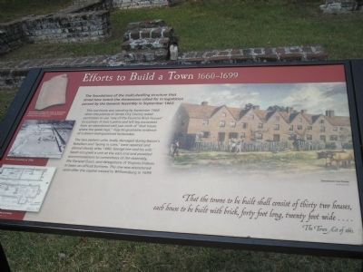
Efforts to Build a Town 1660-1699
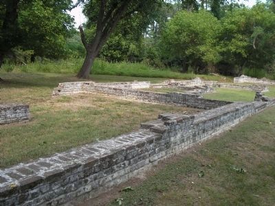
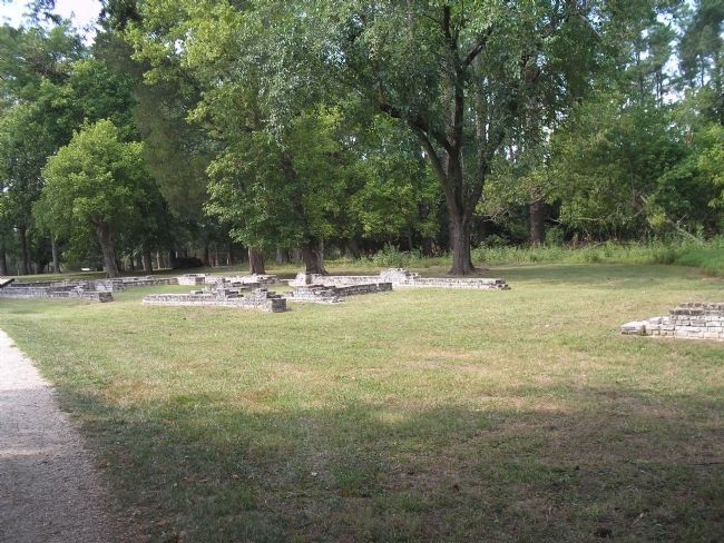
This row rouse was standing by September 1668 when the justices of James City County asked permission to use “one of the Countrie Brick houses” as a prison. A man’s pelvis and left leg excavated from an abandoned well just north of “that house where the goale kept,” may be gruesome evidence of a drawn-and-quartered lawbreaker.
The two eastern units, badly damaged during Bacon’s Rebellion and “lyeing in ruins,” were repaired and altered shortly after 1680. George Lee and his wife Sarah occupied a unit at the east end and provided accommodations to committees of the assembly, the General Court, and delegations of Virginia Indians in town on official business. The row was abandoned soon after the capital moved to Williamsburg in 1699.
each house to be built with brick, forty foot long, twenty foot wide . . . .
The Town Act of 1662
Erected by Colonial National Historic Park.
Topics. This historical marker is listed in this topic list: Colonial Era. A significant historical month for this entry is September 1662.
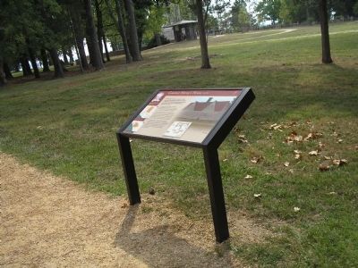
Location. 37° 12.516′ N, 76° 46.549′ W. Marker is near Williamsburg, Virginia, in James City County. Marker can be reached from Colonial Parkway, on the right when traveling west. Marker is in the "New Towne" section of the Historic Jamestown unit of Colonial National Historic Park. Touch for map. Marker is in this post office area: Williamsburg VA 23185, United States of America. Touch for directions.
Other nearby markers. At least 8 other markers are within walking distance of this marker. Inside a Home (a few steps from this marker); Tradesmen on Governor Harvey’s Lot 1630s (within shouting distance of this marker); Gardens and Crops (within shouting distance of this marker); Oyster Shells to Mortar (about 300 feet away, measured in a direct line); Ditch and Mound (about 300 feet away); A Place of Work (about 400 feet away); Swann’s Tavern 1670s (about 400 feet away); Iron and Industry (about 400 feet away). Touch for a list and map of all markers in Williamsburg.
More about this marker. The upper right of the marker contains a picture of a Jamestown row house, by Sidney King, ca. 1957. The left side of the marker features a map of a Jamestown rowhouse, a photograph of Row house excavation, ca. 1930s, and a picture of “Earthenware roofing tiles made at Jamestown [which] demonstrate the shift to a more permanent building form of construction.”
Also see . . .
1. Historic Jamestowne. Colonial National Historic Park from National Park Service website. (Submitted on March 24, 2009, by Bill Coughlin of Woodland Park, New Jersey.)
2. Historic Jamestowne. Historic Jamestowne is the site of the first permanent English settlement in America. The site is jointly administered by APVA Preservation Virginia and the National Park Service. (Submitted on March 24, 2009, by Bill Coughlin of Woodland Park, New Jersey.)
Credits. This page was last revised on June 16, 2016. It was originally submitted on March 24, 2009, by Bill Coughlin of Woodland Park, New Jersey. This page has been viewed 809 times since then and 14 times this year. Photos: 1, 2, 3, 4. submitted on March 24, 2009, by Bill Coughlin of Woodland Park, New Jersey.


