Robert Lee in Coke County, Texas — The American South (West South Central)
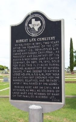
Robert Lee Cemetery
Erected 1973 by State Historical Survey Committee. (Marker Number 4300.)
Topics. This historical marker is listed in these topic lists: Cemeteries & Burial Sites • War, US Civil. A significant historical date for this entry is September 29, 1892.
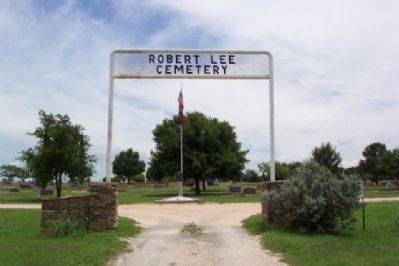
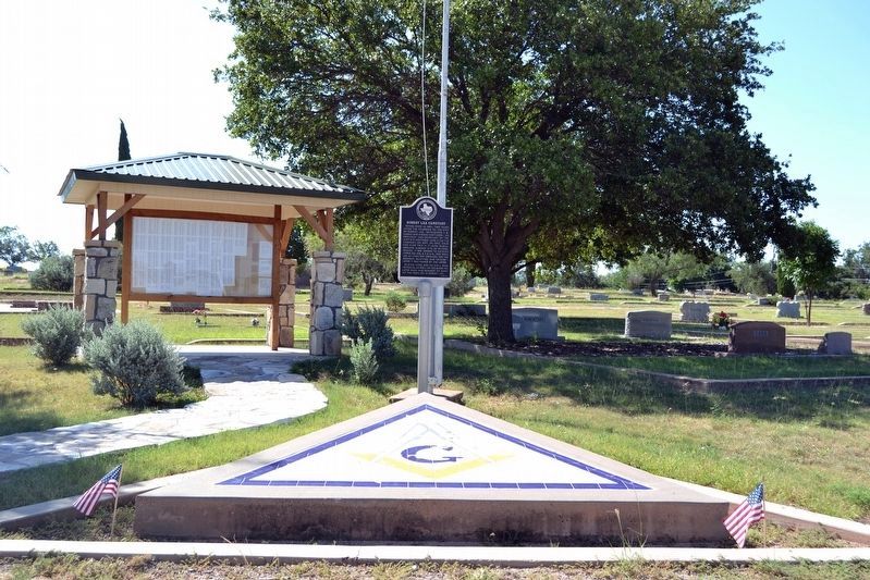
Location. 31° 53.864′ N, 100° 28.51′ W. Marker is in Robert Lee, Texas, in Coke County. Marker is on State Highway 158, on the left when traveling west. Marker is next to flagpole at entrance to cemetery. Touch for map. Marker is in this post office area: Robert Lee TX 76945, United States of America. Touch for directions.
Other nearby markers. At least 8 other markers are within walking distance of this marker. Henry Davis Pearce (about 400 feet away, measured in a direct line); Cary Allen Gates (about 500 feet away); Locklin Bartholomew Murray (about 700 feet away); First Methodist Church of Robert Lee (approx. 0.6 miles away); Fence-Cutting War (approx. 0.7 miles away); Hayrick Lodge 696, A.F.&A.M. (approx. 0.7 miles away); County Named for Texas Confederate Richard Coke (approx. 0.7 miles away); Coke County Jail (approx. 0.8 miles away). Touch for a list and map of all markers in Robert Lee.
Credits. This page was last revised on November 2, 2020. It was originally submitted on May 8, 2009, by William Fischer, Jr. of Scranton, Pennsylvania. This page has been viewed 1,663 times since then and 38 times this year. Photos: 1, 2. submitted on May 8, 2009, by William Fischer, Jr. of Scranton, Pennsylvania. 3. submitted on July 27, 2016, by Duane Hall of Abilene, Texas. • Craig Swain was the editor who published this page.


