Sandtown near Atlanta in Fulton County, Georgia — The American South (South Atlantic)
Dry Pond
Inscription.
An old Campbell County crossroads cited in James P. Snell’s Diary as “a one-horse settlement with no pond, but two or three houses & blacksmith shop” — a landmark in the movement of Howard’s Army of the Tennessee from the Atlanta siege lines to the A. & W. P. railroad.
Aug 27, 1864. From this crossroads, the 15th A. C. marched S.E.; the 16th & 17th A. C. due S., their objective: Shadnor Ch. & Fairburn where, together with Army of the Cumberland & 23d
A. C. troops. The railroad was cut, after which they moved E. to Rough & Ready and Jonesboro to seize the Macon R.R. The 2 days of battle at Jonesboro caused the evacuation of Atlanta.
Erected 1958 by Georgia Historical Commission. (Marker Number 60-166.)
Topics and series. This historical marker is listed in this topic list: War, US Civil. In addition, it is included in the Georgia Historical Society series list. A significant historical date for this entry is August 27, 1888.
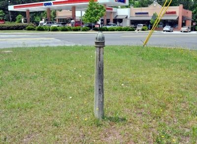
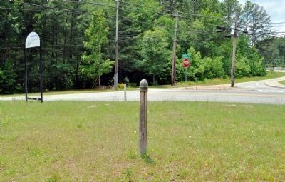
Location. Marker has been reported missing. It was located near 33° 42.522′ N, 84° 33.519′ W. Marker was near Atlanta, Georgia, in Fulton County. It was in Sandtown. Marker was at the intersection of Boat Rock Road and Campbellton Road and New Hope Road SW, on the right when traveling north on Boat Rock Road. Touch for map. Marker was in this post office area: Atlanta GA 30331, United States of America. Touch for directions.
Other nearby markers. At least 8 other markers are within 5 miles of this location, measured as the crow flies. Historic Owl Rock Church (approx. 1.4 miles away); Sandtown (approx. 1.8 miles away); Site: Utoy Post Office (approx. 3.4 miles away); Enroute to Jonesboro (approx. 3˝ miles away); Historic Mt. Gilead (approx. 3.7 miles away); Mt. Gilead M. E. Church (approx. 3.7 miles away); Third Division 23rd Corps Attack / Second Division 23rd Corps Attack (approx. 4˝ miles away); Battle of Utoy Creek (approx. 4˝ miles away). Touch for a list and map of all markers in Atlanta.
Credits. This page was last revised on February 8, 2023. It was originally submitted on May 17, 2009, by J. J. Prats of Powell, Ohio. This page has been viewed 1,193 times since then and 12 times this year. Photos: 1, 2. submitted on May 13, 2012, by David Seibert of Sandy Springs, Georgia.

