Grays Creek in Cumberland County, North Carolina — The American South (South Atlantic)
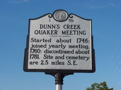
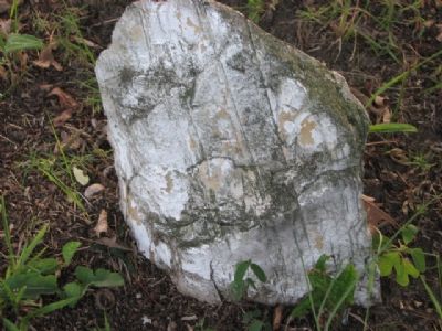
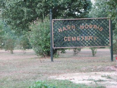
Dunnís Creek Quaker Meeting
Erected 1972 by the State Department of Archives and History. (Marker Number I-59.)
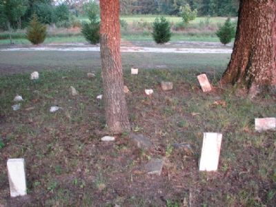
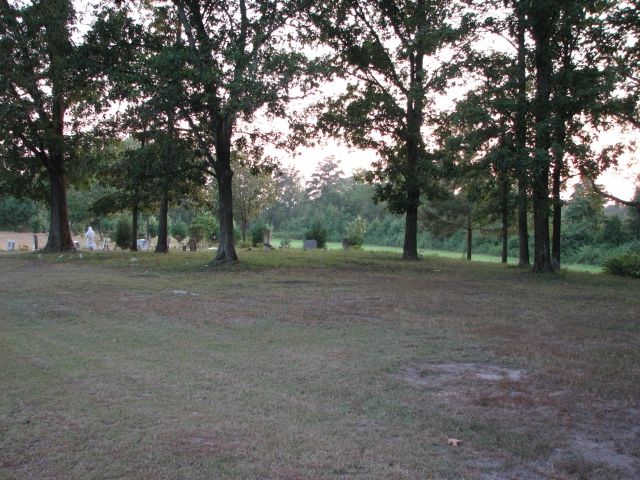
Topics and series. This historical marker is listed in these topic lists: Cemeteries & Burial Sites • Churches & Religion • Colonial Era. In addition, it is included in the North Carolina Division of Archives and History, and the Quakerism series lists. A significant historical year for this entry is 1746.
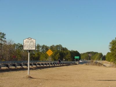
Location. 34° 57.312′ N, 78° 50.643′ W. Marker is in Grays Creek, North Carolina, in Cumberland County. Marker is at the intersection of State Highway 87 and Butler Nursery Rd (Local Route 2221), on the right when traveling north on State Highway 87. Touch for map. Marker is in this post office area: Hope Mills NC 28348, United States of America. Touch for directions.
Other nearby markers. At least 8 other markers are within 7 miles of this marker, measured as the crow flies. Moore's Camp (about 300 feet away, measured in a direct line); The Battle of Bentonville (approx. 3 miles away); Cape Fear Baptist Church (approx. 3 miles away); The Fayetteville Observer (approx. 6.3 miles away); Burning of Clarendon Bridge (approx. 6.4 miles away); Babe Ruth (approx. 6.4 miles away); Campbelton (approx. 6Ĺ miles away); Charles W. Chesnutt (approx. 6.7 miles away).
Credits. This page was last revised on June 25, 2021. It was originally submitted on February 17, 2007, by J. J. Prats of Powell, Ohio. This page has been viewed 2,126 times since then and 49 times this year. Last updated on July 31, 2007, by Steven C. Davies of Hope Mills, North Carolina. Photos: 1, 2. submitted on February 17, 2007, by J. J. Prats of Powell, Ohio. 3, 4, 5, 6. submitted on July 31, 2007, by Steven C. Davies of Hope Mills, North Carolina.
