University of Maryland in Baltimore, Maryland — The American Northeast (Mid-Atlantic)
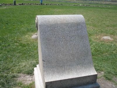
Brig. General Lewis A. Armistead
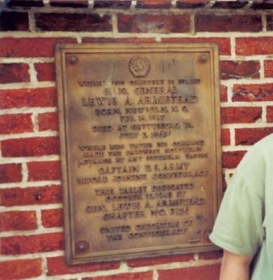
Inscription.
Brig. General
Lewis A. Armistead
Born New Bern, N.C.
Feb. 16, 1817
Died at Gettysburg, Pa.
July 3, 1863
Where men under his command
made the farthest northern
advance by any Southern troops
Captain U.S. Army
before joining Confederacy
This tablet dedicated
October 11, 1949 by
Gen. Lewis A. Armistead
Chapter No. 2136
United Daughters of
the Confederacy
Erected 1949 by Daughters of the Confederacy, Gen. Lewis A. Armistead Chapter No. 2136.
Topics and series. This historical marker is listed in these topic lists: Cemeteries & Burial Sites • War, US Civil. In addition, it is included in the United Daughters of the Confederacy series list. A significant historical month for this entry is July 1914.
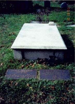
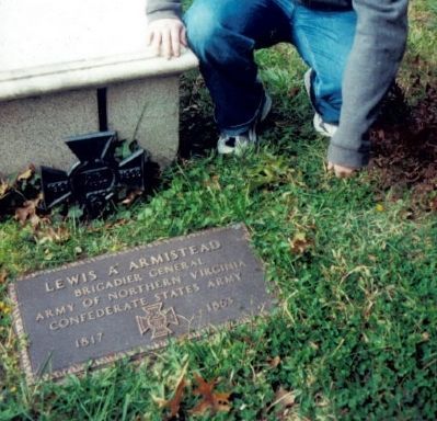
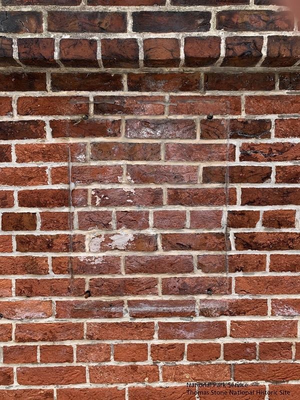
Location. Marker has been reported missing. It was located near 39° 17.297′ N, 76° 37.646′ W. Marker was in Baltimore, Maryland. It was in University of Maryland. Marker was on West Redwood Street, on the right when traveling east. Marker is on the wall to the right of the entrance to Old Saint Paul’s Cemetery. Touch for map. Marker was at or near this postal address: 866 W Redwood St, Baltimore MD 21201, United States of America. Touch for directions.
Other nearby markers. At least 8 other markers are within walking distance of this location. National Independence in the Revolution and War of 1812 (a few steps from this marker); Alexandroffsky (about 400 feet away, measured in a direct line); First Dental College (about 600 feet away); Baltimore Infirmary (approx. 0.2 miles away); Bernard von Kapff (approx. ¼ mile away); Local Hero, National Leader (approx. ¼ mile away); The Carriage Gates of Westminster Burying Ground (approx. ¼ mile away); James McHenry, M.D. (approx. ¼ mile away). Touch for a list and map of all markers in Baltimore.
More about this marker. Imprint of missing marker is visible in brick wall to the right of the entrance gate of Old Saint Paul's Cemetery.
Also see . . . Biography of Lewis Addison Armistead. (Submitted on August 3, 2009, by Bill Coughlin of Woodland Park, New Jersey.)
Credits. This page was last revised on July 10, 2021. It was originally submitted on August 3, 2009, by Bill Coughlin of Woodland Park, New Jersey. This page has been viewed 3,828 times since then and 72 times this year. Last updated on June 29, 2021. Photos: 1, 2. submitted on August 3, 2009, by Bill Coughlin of Woodland Park, New Jersey. 3. submitted on August 4, 2009, by Bill Coughlin of Woodland Park, New Jersey. 4. submitted on August 3, 2009, by Bill Coughlin of Woodland Park, New Jersey. 5. submitted on June 29, 2021. • Bill Pfingsten was the editor who published this page.
