Bay City in Matagorda County, Texas — The American South (West South Central)
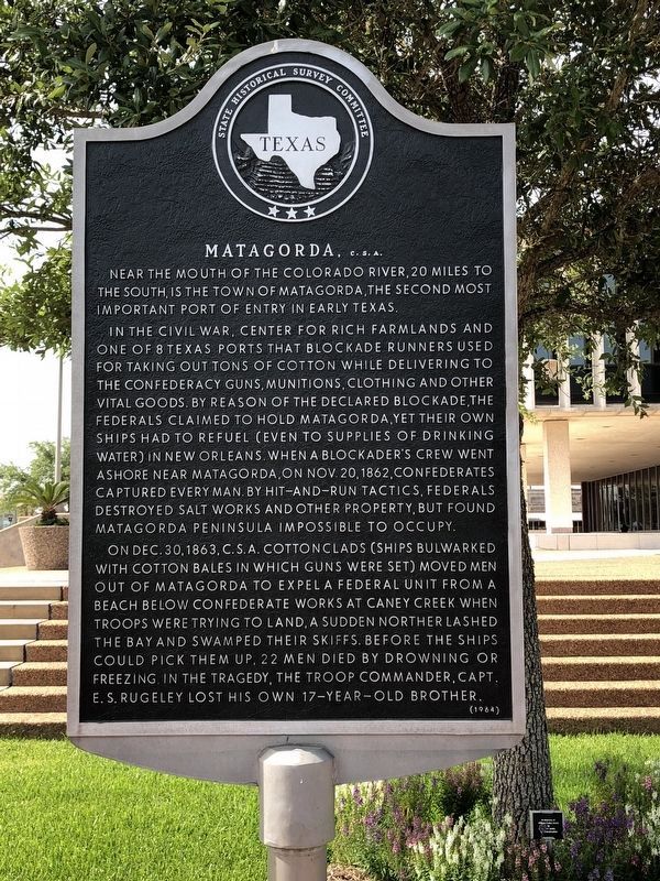
Matagorda, C.S.A.
Near the mouth of the Colorado River, 20 miles to the south, is the town of Matagorda, the second most important port of entry in early Texas.
In the Civil War, center for rich farmlands and one of 8 Texas ports that blockade runners used for taking out tons of cotton while delivering to the Confederacy guns, munitions, clothing and other vital goods. By reason of the declared blockade, the Federals claimed to hold Matagorda, yet their own ships had to refuel (even to supplies of drinking water) in New Orleans. When a blockader's crew went ashore near Matagorda, on November 20, 1862, Confederates captured every man. By hit-and-run tactics, Federals destroyed salt works and other property, but found Matagorda Peninsula impossible to occupy.
On December 30, 1863, C.S.A. cottonclads (ships bulwarked with cotton bales in which guns were set) moved men out of Matagorda to expel a Federal unit from a beach below Confederate works at Caney Creek. When troops were trying to land, a sudden norther lashed the bay and swamped their skiffs. Before the ships could pick them up, 22 men died by drowning or freezing. In the tragedy, the troop commander, Capt. E.S. Rugeley lost his own 17-year-old brother.
Erected 1964 by State Historical Survey Committee. (Marker Number 3254.)
Topics. This historical marker is listed in these topic lists: War, US Civil • Waterways & Vessels.
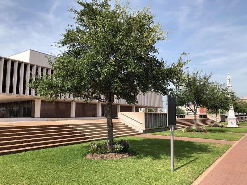
Location. 28° 58.922′ N, 95° 58.184′ W. Marker is in Bay City, Texas, in Matagorda County. Marker is at the intersection of 6th Street and Avenue F (State Highway 60), on the right when traveling west on 6th Street. Located on the South side of the grounds of the Matagorda County Courthouse in Bay City, Texas, near Matagorda County Confederate Monument. Touch for map. Marker is at or near this postal address: 1700 7th Street, Bay City TX 77404, United States of America. Touch for directions.
Other nearby markers. At least 8 other markers are within walking distance of this marker. Matagorda County Confederate Memorial (within shouting distance of this marker); Austin Building (within shouting distance of this marker); Wells Fargo Express (within shouting distance of this marker); Ira Ingram (within shouting distance of this marker); Brunner Building (within shouting distance of this marker); Sugar Cane Mill (about 300 feet away, measured in a direct line); Matagorda County (about 300 feet away); Bay City Post Office (about 300 feet away). Touch for a list and map of all markers in Bay City.
Credits. This page was last revised on November 28, 2020. It was originally submitted on September 12, 2009, by Texmexfla of Houston, Texas. This page has been viewed 1,234 times since then and 24 times this year. Last updated on July 24, 2018, by Brian Anderson of Humble, Texas. Photos: 1, 2. submitted on July 24, 2018, by Brian Anderson of Humble, Texas. • Andrew Ruppenstein was the editor who published this page.

