Buckhead in Atlanta in Fulton County, Georgia — The American South (South Atlantic)
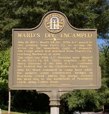
Ward's Div. Encamped
The other two 20th A.C. Divisions were aligned W. on Pace’s Fy. Rd. These, together with the three Divisions of the 14th A.C., continued the Federal line to the Chattahoochee River.
July 19. Ward remained in camp here while his pioneer corps constructed bridges at Peachtree Creek where his troops crossed the next day to the battlefield of Peachtree Creek along Collier Road.
Erected 1956 by Georgia Historical Commission. (Marker Number 060-28.)
Topics and series. This historical marker is listed in this topic list: War, US Civil. In addition, it is included in the Georgia Historical Society series list. A significant historical date for this entry is July 18, 1808.
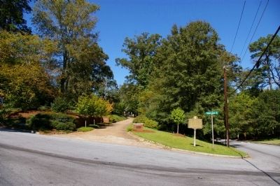
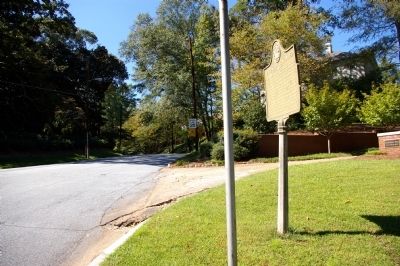
Location. 33° 50.114′ N, 84° 23.327′ W. Marker is in Atlanta, Georgia, in Fulton County. It is in Buckhead. Marker is at the intersection of Andrews Drive and Habersham Way, on the right when traveling south on Andrews Drive. Touch for map. Marker is at or near this postal address: 3000 Andrews Drive, Atlanta GA 30305, United States of America. Touch for directions.
Other nearby markers. At least 8 other markers are within walking distance of this marker. The Canton Apartments (approx. 0.3 miles away); Swan House (approx. 0.4 miles away); a different marker also named Swan House (approx. 0.4 miles away); Gov. John M. Slaton (approx. half a mile away); Civil War Siege Cannon (approx. half a mile away); “The Storyteller” (approx. 0.7 miles away); The Buckhead Theatre / The Social Center Reimagined (approx. 0.7 miles away); Meet You at the Buck's Head / The Commercial Core Reimagined (approx. 0.7 miles away). Touch for a list and map of all markers in Atlanta.

Photographed By David Seibert, September 30, 2009
2. Ward's Div. Encamped Marker
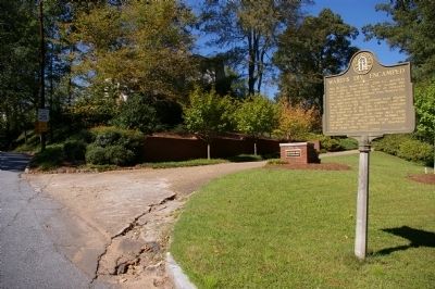
Looking north; Andrews Drive is to the right, Habersham Way in the foreground, and the driveway straight ahead once went to a large Federal home. 30 years ago that house was replaced by a cluster of expensive homes on 1/8 acre lots.
Credits. This page was last revised on February 8, 2023. It was originally submitted on September 30, 2009, by David Seibert of Sandy Springs, Georgia. This page has been viewed 896 times since then and 14 times this year. Photos: 1, 2, 3, 4. submitted on September 30, 2009, by David Seibert of Sandy Springs, Georgia. • Craig Swain was the editor who published this page.


