Near Cordele in Crisp County, Georgia — The American South (South Atlantic)
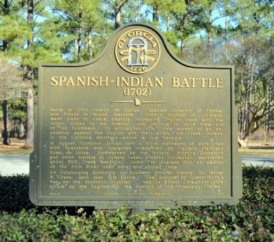
Spanish-Indian Battle
(1702)
In August, Governor Zuņiga sent a force northward of more than 800 Spaniards and Apalaches commanded by Captain Francisco Romo de Uriza. Forewarned by the Indians, Anthony Dodsworth and other traders at Coweta (near present Columbus), marshalled about 500 Creek warriors, lured the invaders into an ambush on the Flint River near here and routed them.
An outstanding authority on Southern frontier history, Dr. Verner W. Crane, said that this battle, “the prelude to Queen Annes War on the Southern frontier,” was in effect “the first blow struck by the English for the control of the Mississippi Valley.”
Erected 1965 by Georgia Historical Commission. (Marker Number 040-9.)
Topics and series. This historical marker is listed in these topic lists: Colonial Era • Native Americans . In addition, it is included in the Georgia Historical Society series list. A significant historical year for this entry is 1702.
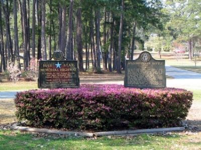
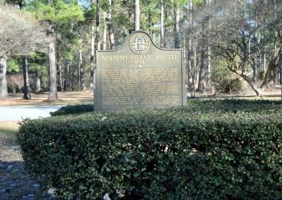
Location. 31° 57.636′ N, 83° 54.661′ W. Marker is near Cordele, Georgia, in Crisp County. Marker is on Cannon Road (Georgia Route 230) 0.2 miles south of Andersonville Trail (U.S. 280), on the right when traveling south. The marker is in the Georgia Veterans Memorial State Park, on the road leading through the main entrance. A parking fee is charged to enter the Park. Touch for map. Marker is in this post office area: Cordele GA 31015, United States of America. Touch for directions.
Other nearby markers. At least 8 other markers are within walking distance of this marker. Richard G. Mooney, Jr. (about 300 feet away, measured in a direct line); Russian 120mm Mortar M-843 (about 400 feet away); 37mm Antitank Gun M3 (about 400 feet away); Russian 85mm Divisional Gun D-44 (about 400 feet away); 57mm Antitank Gun M1 (about 500 feet away); M3AI General Stuart Light Tank (about 500 feet away); 155 Howitzer M1918A3 (about 500 feet away); M4A2E8 Sherman Medium Tank (about 600 feet away). Touch for a list and map of all markers in Cordele.
Credits. This page was last revised on June 4, 2020. It was originally submitted on October 1, 2009, by David Seibert of Sandy Springs, Georgia. This page has been viewed 1,869 times since then and 46 times this year. Photos: 1. submitted on May 2, 2012, by David Seibert of Sandy Springs, Georgia. 2. submitted on October 1, 2009, by David Seibert of Sandy Springs, Georgia. 3. submitted on May 2, 2012, by David Seibert of Sandy Springs, Georgia. • Craig Swain was the editor who published this page.


