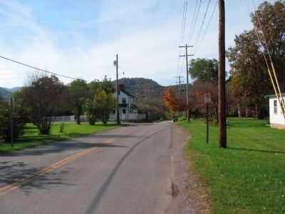
Beverly in Randolph County, West Virginia — The American South (Appalachia)
Crozet~Chenoweth / Rich Mountain Battlefield
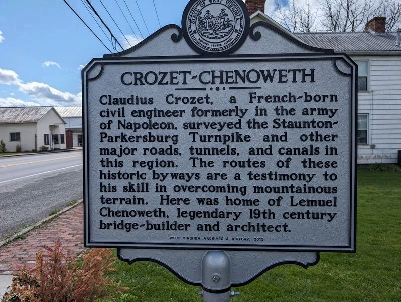
Claudius Crozet, a French-born civil engineer formerly in the army of Napoleon, surveyed the Staunton-Parkersburg Turnpike and other major roads, tunnels, and canals in this region. The routes of these historic byways are a testimony to his skill in overcoming mountainous terrain. Here was home of Lemuel Chenoweth, legendary 19th century bridge-builder and architect.
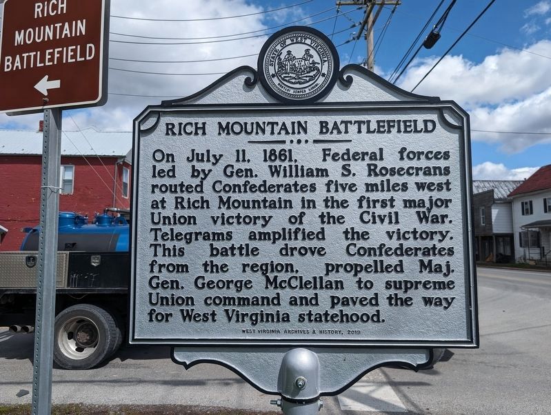
On July 11, 1861, Federal forces led by Gen. William S. Rosencrans routed Confederates five miles west at Rich Mountain in the first major Union victory of the Civil War. Telegrams amplified the victory. This battle drove Confederates from the region, propelled by Maj. Gen. George McClellan to supreme Union command and paved the way for West Virginia statehood.
Erected 2019 by West Virginia Archives & History.
Topics and series. This historical marker is listed in these topic lists: Architecture • Roads & Vehicles • War, US Civil. In addition, it is included in the West Virginia Archives and History series list. A significant historical month for this entry is July 1864.
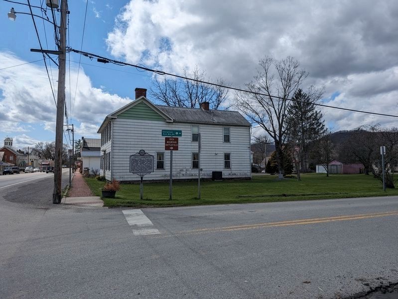
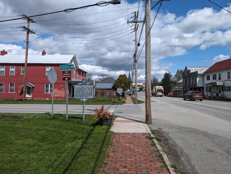
Location. 38° 50.507′ N, 79° 52.49′ W. Marker is in Beverly, West Virginia, in Randolph County. Marker is at the intersection of Main Street (State Highway 55) and Bridge Street (County Road 37-8), on the right when traveling south on Main Street. Touch for map. Marker is in this post office area: Beverly WV 26253, United States of America. Touch for directions.
Other nearby markers. At least 8 other markers are within walking distance of this marker. Jonathan Arnold House (a few steps from this marker); Laura Jackson Arnold (a few steps from this marker); Adam Crawford House (within shouting distance of this marker); Lemuel Chenoweth House (within shouting distance of this marker); Peter Buckey House (within shouting distance of this marker); Beverly Covered Bridge (within shouting distance of this marker); Rowan House (about 300 feet away, measured in a direct line); Randolph Co Jail - 1813 (about 300 feet away). Touch for a list and map of all markers in Beverly.
More about this marker. Marker and text have been updated since the last entry.
Also see . . . Rich Mountain Battlefield. Overview of the battle. (Submitted on October 15, 2009, by Craig Swain of Leesburg, Virginia.)
Credits. This page was last revised on March 28, 2024. It was originally submitted on October 15, 2009, by Craig Swain of Leesburg, Virginia. This page has been viewed 956 times since then and 32 times this year. Photos: 1, 2, 3, 4. submitted on March 28, 2024, by Mike Wintermantel of Pittsburgh, Pennsylvania. 5. submitted on October 15, 2009, by Craig Swain of Leesburg, Virginia.
