Buchanan in Botetourt County, Virginia — The American South (Mid-Atlantic)
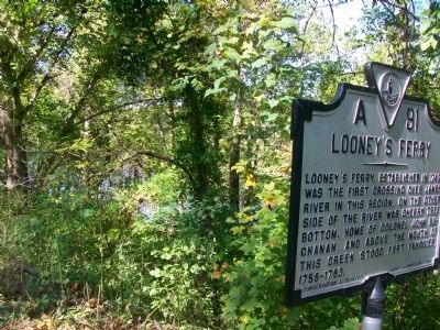
Looney's Ferry
Erected 1934 by Conservation and Development Commission. (Marker Number A-91.)
Topics and series. This historical marker is listed in these topic lists: Colonial Era • Forts and Castles • Settlements & Settlers • Waterways & Vessels. In addition, it is included in the Virginia Department of Historic Resources (DHR) series list. A significant historical year for this entry is 1742.
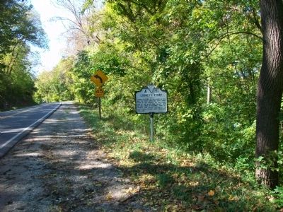
Location. 37° 31.098′ N, 79° 41.862′ W. Marker is in Buchanan, Virginia, in Botetourt County. Marker is on Main Street (U.S. 11), on the right when traveling south. Touch for map. Marker is in this post office area: Buchanan VA 24066, United States of America. Touch for directions.
Other nearby markers. At least 8 other markers are within 2 miles of this marker, measured as the crow flies. Mount Joy (approx. ¾ mile away); The Anchorage (approx. 0.8 miles away); Buchanan (approx. one mile away); The Botetourt Artillery (approx. one mile away); Wilson Warehouse (approx. one mile away); Trinity United Methodist Church (approx. 1.1 miles away); Trinity Episcopal Church (approx. 1.1 miles away); 19663 Main Street (approx. 1.1 miles away). Touch for a list and map of all markers in Buchanan.
Credits. This page was last revised on December 24, 2019. It was originally submitted on October 29, 2009, by Kathy Walker of Stafford, Virginia. This page has been viewed 3,308 times since then and 171 times this year. Photos: 1, 2, 3. submitted on October 29, 2009, by Kathy Walker of Stafford, Virginia. • Kevin W. was the editor who published this page.


