Sparta in Hancock County, Georgia — The American South (South Atlantic)
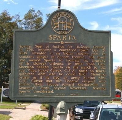
Sparta
Erected 1955 by Georgia Historical Commission. (Marker Number 070-4.)
Topics and series. This historical marker is listed in these topic lists: Native Americans • Settlements & Settlers • War, US Civil. In addition, it is included in the Georgia Historical Society, and the Sherman’s March to the Sea series lists. A significant historical month for this entry is December 1849.
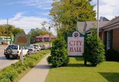
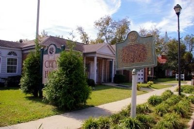
Location. 33° 16.567′ N, 82° 58.266′ W. Marker is in Sparta, Georgia, in Hancock County. Marker is on Broad Street (Georgia Route 15/16) 0 miles east of Boland Street, on the right when traveling east. The marker is in front of the Sparta City Hall. Touch for map. Marker is at or near this postal address: 12912 Broad Street, Sparta GA 31087, United States of America. Touch for directions.
Other nearby markers. At least 8 other markers are within 6 miles of this marker, measured as the crow flies. Pierce Memorial Methodist Church (about 700 feet away, measured in a direct line); Sparta Cemetery (about 700 feet away); Old Eagle Tavern (approx. ¼ mile away); Hancock County (approx. 0.3 miles away); "Old Dominion" (approx. 0.4 miles away); Rockby (approx. 2.2 miles away); Nathan S.S. Beman at Mt. Zion (approx. 5.9 miles away); Mt. Zion Church (approx. 5.9 miles away). Touch for a list and map of all markers in Sparta.
Credits. This page was last revised on January 30, 2020. It was originally submitted on November 10, 2009, by David Seibert of Sandy Springs, Georgia. This page has been viewed 1,758 times since then and 54 times this year. Photos: 1, 2, 3. submitted on November 10, 2009, by David Seibert of Sandy Springs, Georgia. • Craig Swain was the editor who published this page.


