Near Richmond in Henrico County, Virginia — The American South (Mid-Atlantic)
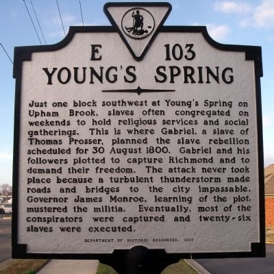
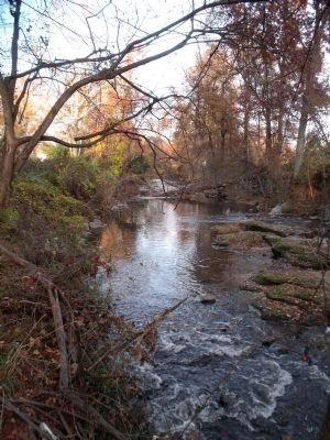
Young's Spring
Erected 1997 by Department of Historic Resources. (Marker Number E-103.)
Topics and series. This historical marker is listed in these topic lists: African Americans • Churches & Religion • Waterways & Vessels. In addition, it is included in the Former U.S. Presidents: #05 James Monroe, and the Virginia Department of Historic Resources (DHR) series lists. A significant historical year for this entry is 1800.
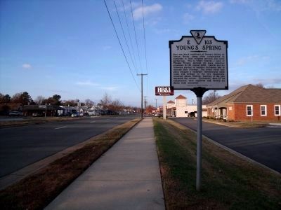
Location. 37° 35.967′ N, 77° 28.003′ W. Marker is near Richmond, Virginia, in Henrico County. Marker is at the intersection of Lakeside Avenue (Virginia Route 161) and Park Street, on the right when traveling north on Lakeside Avenue . Touch for map. Marker is in this post office area: Henrico VA 23228, United States of America. Touch for directions.
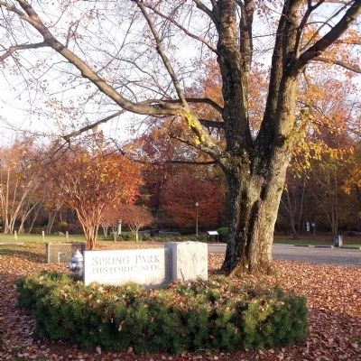
Other nearby markers. At least 8 other markers are within walking distance of this marker. Gabriel’s Rebellion (about 400 feet away, measured in a direct line); Spring Park (about 500 feet away); Joseph Bryan Park (about 600 feet away); Richmond Defences (approx. ¼ mile away); Sheridan Maneuvers East (approx. 0.7 miles away); Adèle Goodman Clark (approx. 0.8 miles away); Emmanuel Church at Brook Hill Episcopal (approx. 0.8 miles away); Gabriel’s Insurrection (approx. 0.9 miles away). Touch for a list and map of all markers in Richmond.
Also see . . . Gabriel's Conspiracy 1799-1800. PBS – Africans in America (Submitted on November 22, 2009, by Bernard Fisher of Richmond, Virginia.)
Credits. This page was last revised on February 3, 2020. It was originally submitted on November 22, 2009, by Bernard Fisher of Richmond, Virginia. This page has been viewed 1,446 times since then and 41 times this year. Photos: 1, 2, 3, 4. submitted on November 22, 2009, by Bernard Fisher of Richmond, Virginia. 5. submitted on November 22, 2009.
