Sterling in Loudoun County, Virginia — The American South (Mid-Atlantic)
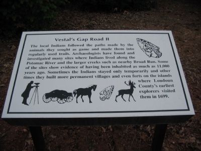
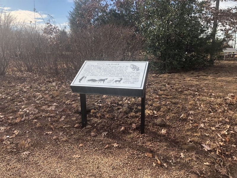
Vestal's Gap Road II
Topics. This historical marker is listed in these topic lists: Exploration • Native Americans • Roads & Vehicles. A significant historical year for this entry is 1699.
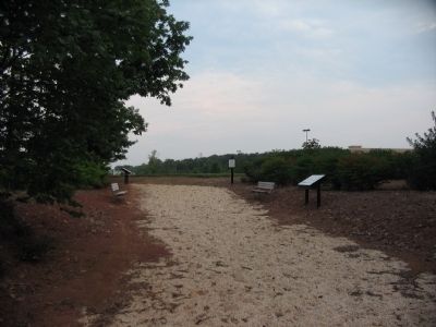
Location. 39° 1.709′ N, 77° 25.317′ W. Marker is in Sterling, Virginia, in Loudoun County. Marker is at the intersection of Nokes Boulevard and Dulles Town Center Circle, on the right when traveling west on Nokes Boulevard. Located in Vestals Gap Road Park adjacent to Dulles Town Center shopping mall. Touch for map. Marker is in this post office area: Sterling VA 20166, United States of America. Touch for directions.
Other nearby markers. At least 8 other markers are within 2 miles of this marker, measured as the crow flies. Vestal's Gap Road III (a few steps from this marker); Vestal's Gap Road I (a few steps from this marker); Vestal's Gap Road IV (within shouting distance of this marker); Vestal's Gap Road (approx. 0.9 miles away); a different marker also named Vestal's Gap Road (approx. 0.9 miles away); George Washington (approx. one mile away); a different marker also named The Vestal's Gap Road (approx. 1.1 miles away); a different marker also named George Washington (approx. 1.1 miles away). Touch for a list and map of all markers in Sterling.
Credits. This page was last revised on December 30, 2020. It was originally submitted on December 16, 2009, by Craig Swain of Leesburg, Virginia. This page has been viewed 942 times since then and 17 times this year. Photos: 1. submitted on December 16, 2009, by Craig Swain of Leesburg, Virginia. 2. submitted on December 30, 2020, by Devry Becker Jones of Washington, District of Columbia. 3. submitted on December 16, 2009, by Craig Swain of Leesburg, Virginia.


