Near Benson in Cochise County, Arizona — The American Mountains (Southwest)
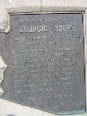
Four miles southeast at Council Rocks
Apache peace treaty with Cochise was ratified in 1872
Erected 1962 by Arizona Development Board and A.H.D.
Topics. This historical marker is listed in these topic lists: Native Americans • Wars, US Indian. A significant historical month for this entry is October 1955.
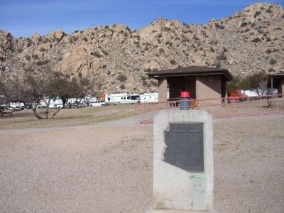
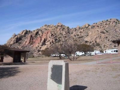
Location. 32° 3.568′ N, 110° 4.569′ W. Marker is near Benson, Arizona, in Cochise County. Marker can be reached from Interstate 10 at milepost 320. Marker is located at the eastbound rest area. Touch for map. Marker is in this post office area: Benson AZ 85602, United States of America. Touch for directions.
Other nearby markers. At least 5 other markers are within 14 miles of this marker, measured as the crow flies. Texas Canyon Pioneer Cemetery (approx. 1˝ miles away); Confederate Graves at Dragoon Springs (approx. 5.3 miles away); Dragoon Springs Stage Stop (approx. 5.3 miles away); Chief Cochise (approx. 11.4 miles away); Mormon Battalion (approx. 13.8 miles away).
Also see . . . The Land of Cochise. "He carried himself at all times with great dignity, and was always treated by those about him with the utmost respect and, at times, fear." : Joseph Alton Sladen, 1872 (Submitted on February 24, 2010.)
Credits. This page was last revised on November 2, 2019. It was originally submitted on February 23, 2010, by Bill Kirchner of Tucson, Arizona. This page has been viewed 2,201 times since then and 74 times this year. Photos: 1, 2, 3. submitted on February 23, 2010, by Bill Kirchner of Tucson, Arizona. • Syd Whittle was the editor who published this page.


