Haddonfield in Camden County, New Jersey — The American Northeast (Mid-Atlantic)
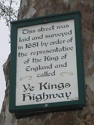
Ye Kings Highway
laid and surveyed
in 1681 by order of
the representative
of the King of
England and
called
Ye Kings
Highway
Topics. This historical marker is listed in these topic lists: Colonial Era • Roads & Vehicles. A significant historical year for this entry is 1681.
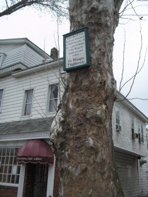
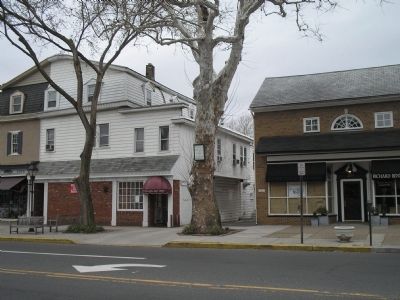
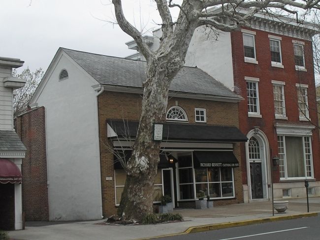
Location. Marker has been reported permanently removed. It was located near 39° 53.903′ N, 75° 1.886′ W. Marker was in Haddonfield, New Jersey, in Camden County. Marker was at the intersection of Kings Highway (New Jersey Route 41) and Haddon Avenue, on the right when traveling south on Kings Highway. Original note: Marker is attached to a sycamore tree on the west side of Kings Highway. Update: The sycamore (buttonwood) tree was taken down on January 15, 2018. The marker, which was damaged in the process, in now in the possession of the Historical Society of Haddonfield. Touch for map. Marker was in this post office area: Haddonfield NJ 08033, United States of America.
We have been informed that this sign or monument is no longer there and will not be replaced. This page is an archival view of what was.
Other nearby markers. At least 8 other markers are within walking distance of this location. Reeves-Glover House (within shouting distance of this marker); Guard House (about 400 feet away, measured in a direct line); Indian King Tavern (about 400 feet away); Indian King Tavern State Historic Site (NR) (about 400 feet away); In Memory of Elizabeth Haddon (about 400 feet away); Jonas Cattell (about 400 feet away); New Jersey Building (about 600 feet away); Quaker Graveyard (about 700 feet away). Touch for a list and map of all markers in Haddonfield.
Credits. This page was last revised on February 28, 2018. It was originally submitted on March 28, 2010, by Bill Coughlin of Woodland Park, New Jersey. This page has been viewed 1,138 times since then and 39 times this year. Last updated on February 26, 2018, by David Hunter of Haddonfield, New Jersey. Photos: 1, 2, 3, 4. submitted on March 28, 2010, by Bill Coughlin of Woodland Park, New Jersey. 5. submitted on June 7, 2014, by Bill Coughlin of Woodland Park, New Jersey. • Bill Pfingsten was the editor who published this page.
