Menard in Menard County, Texas — The American South (West South Central)
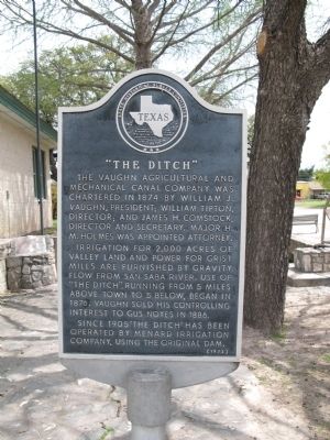
"The Ditch"
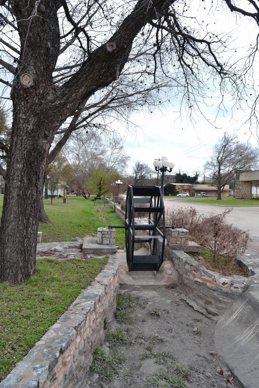
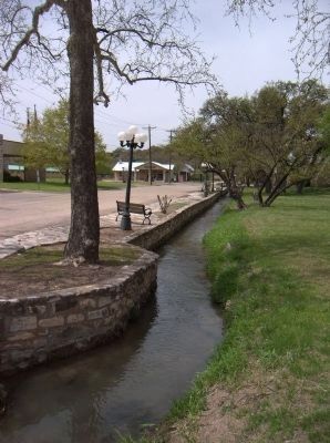
Irrigation for 2,000 acres of valley land and power for grist mills are furnished by gravity flow from San Saba River. Use of "The Ditch," running from 5 miles above town to 5 below, began in 1876. Vaughn sold his controlling interest to Gus Noyes in 1886.
Since 1905 "The Ditch" has been operated by Menard Irrigation Company, using the original dam.
Erected 1972 by State Historical Survey Committee. (Marker Number 12.)
Topics. This historical marker is listed in these topic lists: Agriculture • Man-Made Features • Natural Resources • Settlements & Settlers. A significant historical year for this entry is 1874.
Location. 30° 54.99′ N, 99° 47.19′ W. Marker is in Menard, Texas, in Menard County. Marker is at the intersection of Ellis Street (U.S. 83) and Canal Street on Ellis Street. Touch for map. Marker is in this post office area: Menard TX 76859, United States of America. Touch for directions.
Other nearby markers. At least 8 other markers are within walking distance of this marker. The Lafora Map / An Apache Encampment (within shouting distance of this marker); Sacred Heart Catholic Church (about 300 feet away, measured in a direct line); Welcome to Menard, Texas / The Old Sacred Heart Catholic Church (about 300 feet away); Founding of the Santa Cruz de San Saba Mission (about 300 feet away); Bank of Menard (about 500 feet away); Fort McKavett C.S.A. / Texas Civil War Frontier Defense (approx. 0.2 miles away); Menard County Memorial of Those Who Died (approx. 0.2 miles away); Great Western Trail (approx. 0.2 miles away). Touch for a list and map of all markers in Menard.
Also see . . . Acequia, Presidio San Saba. The "ditch" is part of the surviving portion of the Presidio San Saba's acequia, built by the Spanish to irrigate their agricultural fields. (Submitted on April 9, 2010, by Richard Denney of Austin, Texas.)
Credits. This page was last revised on March 30, 2018. It was originally submitted on April 9, 2010, by Richard Denney of Austin, Texas. This page has been viewed 1,346 times since then and 27 times this year. Photos: 1. submitted on April 9, 2010, by Richard Denney of Austin, Texas. 2, 3. submitted on March 30, 2018, by Duane Hall of Abilene, Texas. 4. submitted on April 19, 2010, by Gregory Walker of La Grange, Texas. • Kevin W. was the editor who published this page.


