Penn Quarter in Northwest Washington in Washington, District of Columbia — The American Northeast (Mid-Atlantic)
Pennsylvania Avenue
Civil War to Civil Rights
— Downtown Heritage Trail —
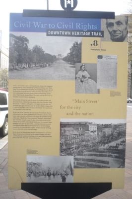
“Main Street” for the city and the nation.
Just a few steps ahead is Pennsylvania Avenue the inaugural parade route for every president since Thomas Jefferson and “Main Street” for local Washington since the city’s founding. Jefferson planted the first trees along the avenue, and in the early days of the city it was a promenade lined with shops, hotels and boarding houses. Mary Todd Lincoln shopped here. The street was also the scene of President Lincoln’s funeral procession.
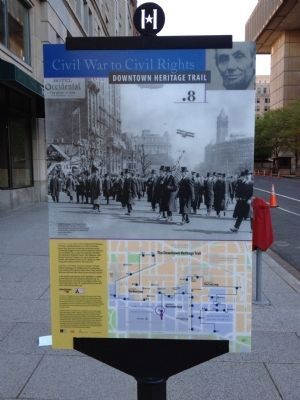
Pennsylvania Avenue has been the scene of countless parades and demonstrations. Collectively, the people who have marched along the avenue — soldiers, suffragettes, civil rights activists, anti-war protesters, gay right advocates, and the Ku Klux Klan, to name a few — serve as reminders of the freedoms imbedded in the Constitution and expanded by the Civil War.
By the start of the Civil War, the area across Pennsylvania Avenue had become a run-down neighborhood of theaters, saloons, cheap hotels, light industry, and houses of ill repute. Its activities earned it the name “Murder Bay” and sometimes “Hooker’s Department” after Civil War General Joseph Hooker, whose plan it was to concentrate the activities of prostitutes in this area. It remained a light industrial area until the 1930s when a growing federal government consolidated offices that had been scattered in rented buildings around the city and built the complex of Neo-classical buildings known collectively as the Federal Triangle.
In the 1970s, the Pennsylvania Avenue Development Corporation began revitalization of this side of the Avenue, bringing new office, commercial and residential buildings to the street while preserving some of its 19th-century landmarks.
Erected by Cultural Tourism DC. (Marker Number .8.)
Topics and series. This historical marker is listed in these topic lists: Government & Politics • Roads & Vehicles • War, US Civil. In addition, it is included in the Downtown Heritage Trail, the Former U.S. Presidents: #03 Thomas Jefferson, and the Former U.S. Presidents: #16 Abraham Lincoln series lists. A significant historical year for this entry is 1865.
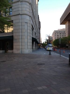
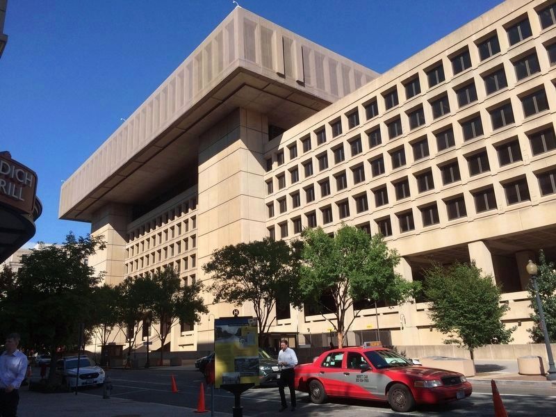
Location. This marker has been replaced by another marker nearby. It was located near 38° 53.696′ N, 77° 1.568′ W. Marker was in Northwest Washington in Washington, District of Columbia. It was in the Penn Quarter. Marker was at the intersection of Pennsylvania Avenue Northwest and 10th Street Northwest, on the right when traveling west on Pennsylvania Avenue Northwest. Touch for map. Marker was at or near this postal address: 935 Pennsylvania Avenue Northwest, Washington DC 20535, United States of America. Touch for directions.
Other nearby markers. At least 8 other markers are within walking distance of this location. A different marker also named Pennsylvania Avenue (here, next to this marker); This memorial tree (within shouting distance of this marker); Permanence and Grandeur: Building the Federal Triangle (about 300 feet away, measured in a direct line); G-Men and G-Women (about 300 feet away); Statue of Benjamin Franklin (about 500 feet away); The Christian Index (about 500 feet away); Preserving the Past (about 500 feet away); Knights of Pythias (about 500 feet away). Touch for a list and map of all markers in Northwest Washington.
Related marker. Click here for another marker that is related to this marker. This marker has been replaced with the linked marker which has slightly different text.
Additional keywords. LGBT, LGBTQ, 🏳️🌈
Credits. This page was last revised on January 30, 2023. It was originally submitted on April 10, 2010, by Richard E. Miller of Oxon Hill, Maryland. This page has been viewed 1,412 times since then and 23 times this year. Photos: 1. submitted on April 10, 2010, by Richard E. Miller of Oxon Hill, Maryland. 2, 3. submitted on June 3, 2012, by Craig Swain of Leesburg, Virginia. 4. submitted on November 3, 2016, by J. Makali Bruton of Accra, Ghana. • Craig Swain was the editor who published this page.


