Kinston in Lenoir County, North Carolina — The American South (South Atlantic)
Cat Hole
Finishing CSS Neuse
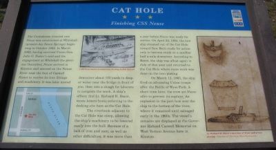
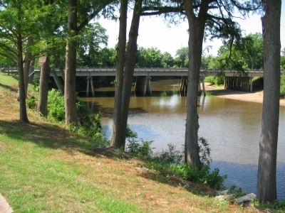
The riverbank adjacent to the Cat Hole was steep, allowing the ship's machinery to be lowered easily into the hull. Because of the lack of iron and men, as well as other difficulties, it was more than a year before Neuse was ready for service. On April 22, 1864, the new ship steamed out of the Cat Hole toward New Bern ready for action only to become stuck on a sandbar half a mile downriver. According to Bacot, the ship was afloat again in July of that year and returned to the Cat Hole where more work was done on the iron plating.
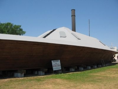
On March 12, 1865, the ship fired on advancing Union troops after the Battle of Wyse Fork. A short time later, the crew set Neuse afire to prevent its capture. An explosion in the port bow sent the ship to the bottom of the river, where it remained until salvaged early in the 1960s. The vessel's remains are displayed at the Governor Richard Caswell Memorial on West Vernon Avenue here in Kinston.
Erected by North Carolina Civil War Trails.
Topics and series. This historical marker is listed in these topic lists: War, US Civil • Waterways & Vessels. In addition, it is included in the North Carolina Civil War Trails series list. A significant historical month for this entry is March 1863.
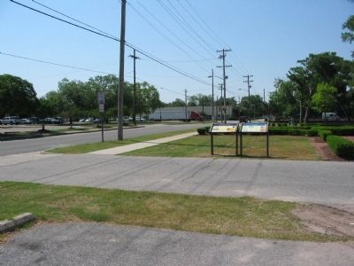
Location. 35° 15.599′ N, 77° 34.983′ W. Marker is in Kinston, North Carolina, in Lenoir County. Marker is at the intersection of South Heritage Street and West Caswell Street, on the right when traveling south on South Heritage Street. Located in a river overlook park with ample parking space. Touch for map. Marker is in this post office area: Kinston NC 28501, United States of America. Touch for directions.
Other nearby markers. At least 8 other markers are within walking distance of this marker. Walk of Honor Memorial (a few steps from this marker); CSS Neuse Confederate Ironclad Gunboat (within shouting distance of this marker); CSS Neuse (about 700 feet away, measured in a direct line); The Town Of Kingston (about 700 feet away); Lenoir County WW I and WW II Memorial (about 700 feet away); In Honor and Remembrance (about 700 feet away); Kinston Sit-Ins (about 700 feet away); Caswell (about 700 feet away). Touch for a list and map of all markers in Kinston.
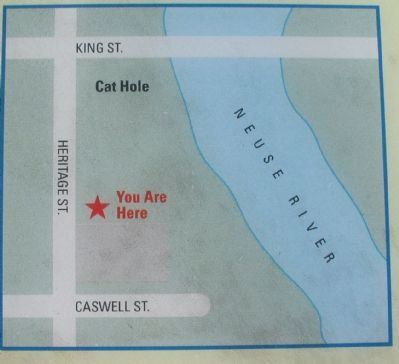
More about this marker. On the lower left is a map indicating the location of the marker, important streets, and the Cat Hole. In the upper center is a drawing depicting the CSS Neuse under construction (drawing by Bill Ballard). On the right is Lt. Richard H. Bacot's sketches of Neuse and armor plating.
Credits. This page was last revised on June 16, 2016. It was originally submitted on May 9, 2010, by Craig Swain of Leesburg, Virginia. This page has been viewed 1,481 times since then and 51 times this year. Photos: 1, 2, 3, 4, 5. submitted on May 9, 2010, by Craig Swain of Leesburg, Virginia.
