Near Charleston in Charleston County, South Carolina — The American South (South Atlantic)
Blockade Runners
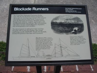
The risk of capture or sinking by Union warships was great, but so were the rewards. One voyage could bring a profit of $100,000. Despite the blockade, seventy-five percent of the runs were successful.
Erected by Fort Sumter National Monument, South Carolina - National Park Service - U.S. Department of the Interior.
Topics. This historical marker is listed in these topic lists: War, US Civil • Waterways & Vessels.
Location. 32° 45.131′ N, 79° 52.445′ W. Marker is near Charleston, South Carolina, in Charleston County. Marker is located at Fort Sumter National Monument and only reached by boat. See links below for more information about access to the site. Touch for map. Marker is in this post office area: Charleston SC 29412, United States of America. Touch for directions.
Other nearby markers. At least 8 other markers are within walking distance of this marker. Ironclads Attack (a few steps from this marker); Controlling the Harbor (a few steps from this marker); H.L. Hunley (a few steps from this marker); Star of the West (within shouting distance of this marker); 6.4-Inch (100-Pounder) Parrott (within shouting distance of this marker); The Columbiad (within shouting distance of this marker); 8-inch (200 Pounder) Parrott (within shouting distance of this marker); Night Attack (within shouting distance of this marker). Touch for a list and map of all markers in Charleston.
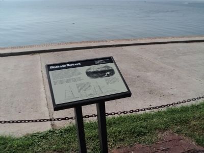
More about this marker. At the bottom of the marker is a line drawing of a blockade runner. Mary Bowers (1864), a typical blockade runner, was powered by steam and sail. With a long, low profile and shallow draft, she could swiftly and quietly evade Union ships. Blockade runners were often painted gray to blend with the sea and fog. Rainy weather and dark, moonless nights were idea for a run into port.
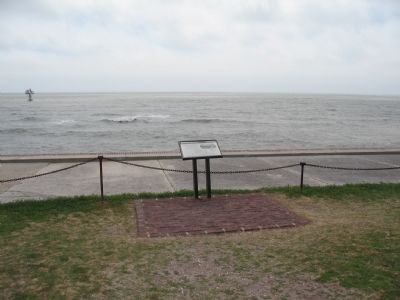
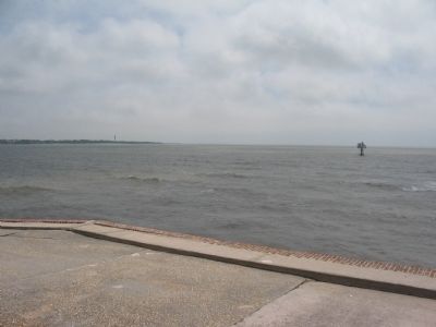
On the upper right is a contemporary drawing showing a scene from the blockade. Union monitors approach a blockade runner trapped in shallow water near Charleston, 1865. Many ship were captured or sunk. The remains fo the blockade runner Minho, sunk in 1862, lie near the red channel buoy visible ahead.
Credits. This page was last revised on October 23, 2020. It was originally submitted on May 14, 2010, by Craig Swain of Leesburg, Virginia. This page has been viewed 1,323 times since then and 35 times this year. Photos: 1. submitted on May 14, 2010, by Craig Swain of Leesburg, Virginia. 2. submitted on September 23, 2013, by Bill Coughlin of Woodland Park, New Jersey. 3, 4. submitted on May 14, 2010, by Craig Swain of Leesburg, Virginia.


