Snow Camp in Alamance County, North Carolina — The American South (South Atlantic)
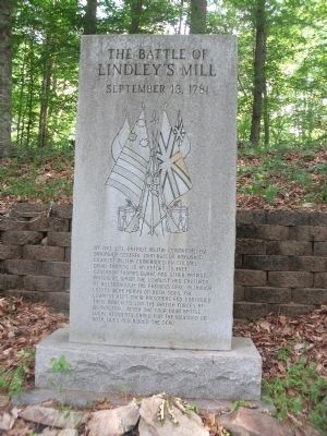
The Battle of Lindley's Mill
September 13, 1781
Topics. This historical marker is listed in these topic lists: Cemeteries & Burial Sites • Notable Events • Patriots & Patriotism • War, US Revolutionary.
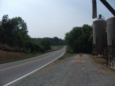
Location. 35° 53.343′ N, 79° 20.596′ W. Marker is in Snow Camp, North Carolina, in Alamance County. Marker can be reached from Lindley Mill Road. Touch for map. Marker is at or near this postal address: 7763 Lindley Mill Road, Snow Camp NC 27349, United States of America. Touch for directions.
Other nearby markers. At least 8 other markers are within 4 miles of this marker, measured as the crow flies. General John Butler (within shouting distance of this marker); September 13, 1781 (within shouting distance of this marker); Spring Friends Meeting (approx. 1.3 miles away); The Battle of Lindley's Mill Memorial (approx. 1.4 miles away); Ernest Peter Dixon (approx. 1.4 miles away); Lindley's Mill (approx. 2.4 miles away); Uncle Eli's Quilting Party (approx. 2.7 miles away); Saxapahaw (approx. 3.3 miles away). Touch for a list and map of all markers in Snow Camp.
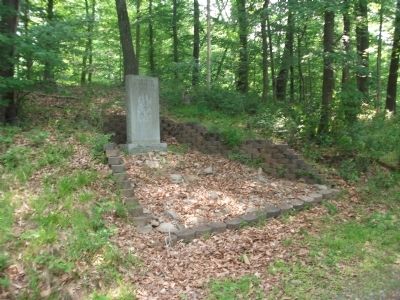
More about this marker. This marker is the second of three markers, down a trail on private property, across the road from Lindley's Mill. It is a short hike to the markers down a wide, wooded driveway that borders Cane Creek. The trail widens into a clearing and begins again on the other side. Insect repellant is recommended.
Additional keywords. Battle of Cane Creek, Graham, Mebane, Mebanesville, American Revolutionary War, Society of Friends, Quakers, Spring Meeting House
Credits. This page was last revised on June 16, 2016. It was originally submitted on May 14, 2010, by Paul Jordan of Burlington, N. C., U. S. A.. This page has been viewed 2,241 times since then and 65 times this year. Photos: 1, 2, 3, 4. submitted on May 14, 2010, by Paul Jordan of Burlington, N. C., U. S. A.. • Kevin W. was the editor who published this page.


