Bristol in Bucks County, Pennsylvania — The American Northeast (Mid-Atlantic)
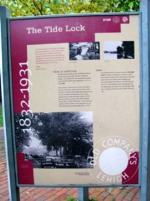
The Tidal Lock
1832 - 1931
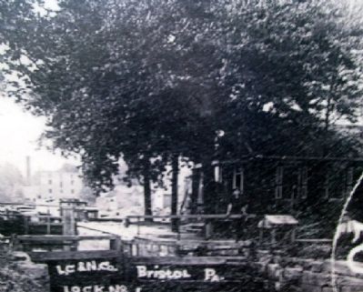
“Coal boats consigned to Philadelphia and adjacent ports were assembled in the river outside the tide lock in rows of up to twenty-one boats, three abreast, to be taken down the river by steamboats. The departure of these tows was scheduled to take advantage of the ebb tide in going down the river and the flood tide upon the return trip.”
C.P. Yoder
Delaware Canal Journal
Timing is Everything
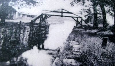
The Tide Lock was the first lock from the Delaware River into the Canal system. Unlike other Locks that accommodate changes in land elevation, this Lock accommodated variations in water elevations with the tide. Tide fluctuations in the Lock was 5.5 feet.
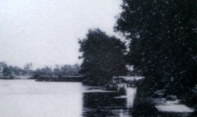
Canal schedules in Bristol revolved around the tide table as the Lock at this location made the most of the rise and fall of the River. At high tide, boats floated easily through the Lock and into the Canal for the trip upstream. When the Lock opened at low tide, water swept boats waiting in the Canal Basin into the River to continue their voyage downstream. With the inflow or outflow of tidal water, a strong current was available to propel the boats, so that mule power and a tow path may not have been necessary, depending on direction.
Today
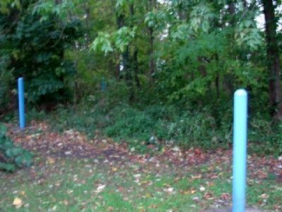
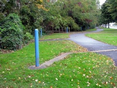
The approximate location of the Canal is marked as blue bollard markers in the trees. Spring flowers are planted as ground cover between the markers. The markers note the edge of the water, and where the markers narrow in distance is the approximate location of the Tide Lock. The width of the Lock was 22' so it could handle two boats simultaneously. It was 100' long. Because this portion of the Canal was filled-in long ago, it is difficult to pinpoint the precise location of the Tide Lock.
The bullseye emblem displayed on boats represented the Lehigh Coal and Navigation Company.
Erected by Bristol Borough, Pennsylvania Department of Conservation and Natural Resources, and the Delaware & Lehigh National Heritage Corridor.
Topics and series. This historical marker is listed in these topic lists: Industry & Commerce • Man-Made Features • Waterways & Vessels. In addition, it is included in the Delaware Canal (AKA Delaware Division of the Pennsylvania Canal) series list.
Location. This marker has been replaced by another marker nearby. It was located near 40° 5.631′ N, 74° 51.481′ W. Marker was in Bristol, Pennsylvania, in Bucks County. Marker is located in Basin Park, near the confluence of Otter Creek and the Delaware River,
about 500 feet WSW of the intersection of Mill and Radcliffe Streets. Touch for map. Marker was in this post office area: Bristol PA 19007, United States of America. Touch for directions.
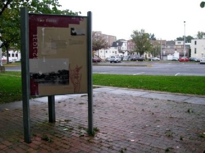
Other nearby markers. At least 8 other markers are within walking distance of this location. In the Basin (here, next to this marker); Fueling the Economy (here, next to this marker); Working with the Tide (here, next to this marker); Marsh Ecology in an Urban Setting (within shouting distance of this marker); Where the Canal Met the River (within shouting distance of this marker); Harriet Ross Tubman (within shouting distance of this marker); Tidal Delaware Water Trail (within shouting distance of this marker); The Puerto Rican Monument of Bristol (within shouting distance of this marker). Touch for a list and map of all markers in Bristol.
Related marker. Click here for another marker that is related to this marker. This marker has been replaced by the linked marker.
Also see . . .
1. Delaware Canal State Park Field Guide. (Submitted on May 29, 2010, by William Fischer, Jr. of Scranton, Pennsylvania.)
2. History of Bristol Borough. (Submitted on May 29, 2010, by William Fischer, Jr. of Scranton, Pennsylvania.)
Credits. This page was last revised on November 15, 2020. It was originally submitted on May 28, 2010, by William Fischer, Jr. of Scranton, Pennsylvania. This page has been viewed 980 times since then and 19 times this year. Photos: 1, 2, 3, 4, 5, 6, 7. submitted on May 29, 2010, by William Fischer, Jr. of Scranton, Pennsylvania.
