Pelham in Westchester County, New York — The American Northeast (Mid-Atlantic)
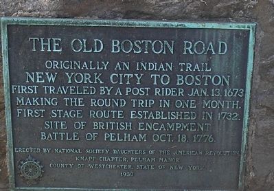
The Old Boston Road
New York City to Boston
First traveled by a post rider Jan. 13, 1673
making the round trip in one month.
First stage route established in 1732.
Site of British encampment
Battle of Pelham Oct. 18, 1776.
Erected 1930 by National Society Daughters of the American Revolution, Knapp Chapter, Pelham Manor, County of Westchester, State of New York.
Topics and series. This historical marker is listed in these topic lists: Colonial Era • Roads & Vehicles • War, US Revolutionary. In addition, it is included in the Daughters of the American Revolution series list. A significant historical date for this entry is January 13, 1673.
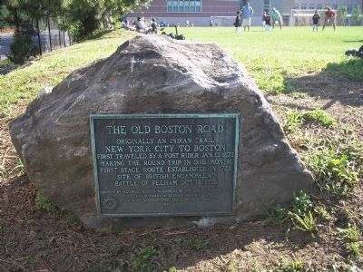
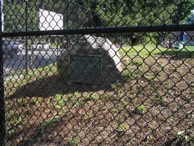
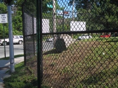
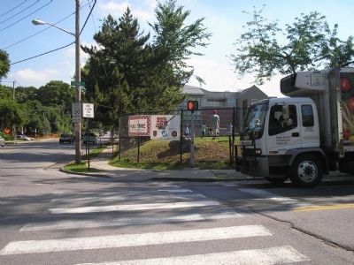
Location. 40° 54.169′ N, 73° 48.805′ W. Marker is in Pelham, New York, in Westchester County. Marker is at the intersection of Colonial Avenue and Wolfs Lane, on the right when traveling west on Colonial Avenue. Marker is on the grounds of Pelham Memorial High School. Touch for map. Marker is in this post office area: Pelham NY 10803, United States of America. Touch for directions.
Other nearby markers. At least 8 other markers are within walking distance of this marker. Colonel Philip Pell (about 500 feet away, measured in a direct line); “Pelham Dale” (approx. 0.2 miles away); Glover’s Brigade Encampment (approx. ¼ mile away); This Mile Stone (approx. 0.6 miles away); Battle of Pelham (approx. 0.9 miles away); Patriots of the American Revolution (approx. 0.9 miles away); St. Paul’s Church, Eastchester (approx. 0.9 miles away); Saint Paul’s Protestant Episcopal Church (approx. 0.9 miles away).
Also see . . .
1. Boston Post Road. Wikipedia entry (Submitted on February 25, 2021, by Larry Gertner of New York, New York.)
2. The Battle of Pell’s Point. The American Revolutionary War website. (Submitted on June 19, 2010, by Bill Coughlin of Woodland Park, New Jersey.)
Credits. This page was last revised on February 25, 2021. It was originally submitted on June 19, 2010, by Bill Coughlin of Woodland Park, New Jersey. This page has been viewed 1,101 times since then and 38 times this year. Photos: 1, 2, 3, 4, 5. submitted on June 19, 2010, by Bill Coughlin of Woodland Park, New Jersey.
