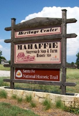
Olathe in Johnson County, Kansas — The American Midwest (Upper Plains)
Check that Cornfield
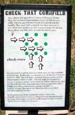
According to the agricultural census of that year, Beatty Mahaffie produced 2000 bushels of corn on this farm in 1865. The average Johnson County farm produced 667 bushels. This small field is slightly less than one acre in size. With forty bushels per acre a good average for the day, Beatty likely had fifty acres or more devoted to corn.
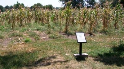
Our demonstration plot is planted in check rows, just like cornfields in Beatty's day. Rather than a continuous row, the kernels of corn are planted in "hills" four feet apart. American Indians planted corn in actual mounds or hills of earth. The hills might be arranged in a circular or irregular pattern. Early American settlers adopted the plant and the technique from American Indians but arranged their hills in straight rows like a checkerboard, making it possible to cultivate, or weed, the corn in two directions with a small plow or harrow pulled by a horse.
By the middle years of the nineteenth century, farmers like Mahaffie replaced hand planting with mechanized equipment pulled by horses. These early corn planters still dropped kernels at equally-spaced intervals rather than in a row.
Erected by City of Olathe.
Topics. This historical marker is listed in these topic lists: Agriculture • Native Americans • Settlements & Settlers. A significant historical year for this entry is 2000.
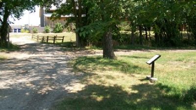
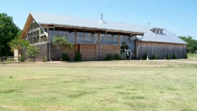
Location. 38° 53.54′ N, 94° 48.02′ W. Marker is in Olathe, Kansas, in Johnson County. Marker is about 150 feet west of the Heritage Center at Mahaffie Stagecoach Stop and Farm. Touch for map. Marker is at or near this postal address: 1200 Kansas City Road, Olathe KS 66061, United States of America. Touch for directions.
Other nearby markers. At least 8 other markers are within walking distance of this marker. Westward Ho! (a few steps from this marker); There's No Roost Like Home (within shouting distance of this marker); Up In Smoke (about 300 feet away, measured in a direct line); Home Sweet Home (about 300 feet away); Fast Food (about 300 feet away); State Your Business... (about 300 feet away); Stagecoach Drivers (about 300 feet away); Pit Stop (about 300 feet away). Touch for a list and map of all markers in Olathe.
Also see . . .
1. Mahaffie Stagecoach Stop and Farm. Site webpage (Submitted on August 15, 2010, by William Fischer, Jr. of Scranton, Pennsylvania.)
2. National Agricultural Center & Hall of Fame. Center homepage (Submitted on August 15, 2010, by William Fischer, Jr. of Scranton, Pennsylvania.)
3. Santa Fe National Historic Trail. (Submitted on August 15, 2010, by William Fischer, Jr. of Scranton, Pennsylvania.)
Credits. This page was last revised on March 4, 2023. It was originally submitted on August 15, 2010, by William Fischer, Jr. of Scranton, Pennsylvania. This page has been viewed 1,136 times since then and 20 times this year. Photos: 1, 2, 3, 4, 5. submitted on August 15, 2010, by William Fischer, Jr. of Scranton, Pennsylvania.
