Near Delphi in Carroll County, Indiana — The American Midwest (Great Lakes)
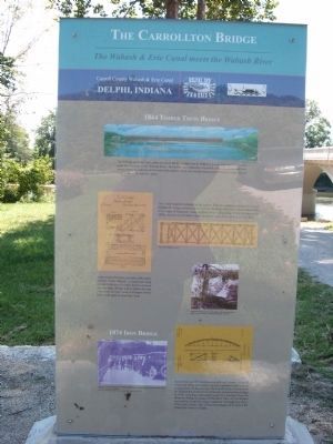
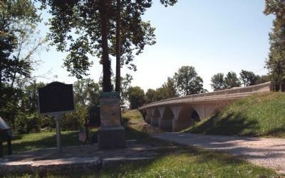
The Carrollton Bridge
Inscription.
Front
Carroll County Wabash & Erie Canal
Delphi, Indiana
Obverse Side
Topics and series. This historical marker is listed in these topic lists: Bridges & Viaducts • Roads & Vehicles • Waterways & Vessels. In addition, it is included in the Wabash & Erie Canal series list. A significant historical year for this entry is 1844.
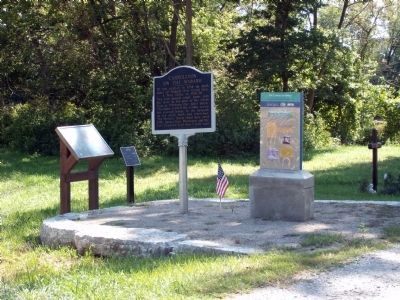
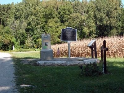
Location. 40° 38.964′ N, 86° 39.44′ W. Marker is near Delphi, Indiana, in Carroll County. Marker is on County Road N 700 W north of County Road W 675 N, on the right when traveling north. Touch for map. Marker is in this post office area: Delphi IN 46923, United States of America. Touch for directions.
Other nearby markers. At least 8 other markers are within 5 miles of this marker, measured as the crow flies. Carrollton on the Wabash (here, next to this marker); Mentzer Tavern (here, next to this marker); The Wabash & Erie Canal (a few steps from this marker); Trail of Death (approx. 1.9 miles away); Site of Cabin Home Gen. Samuel Milroy (approx. 3.8 miles away); Loom House Weaver (approx. 4.1 miles away); The Paper Maker's Shop (approx. 4.1 miles away); Cabin Homestead 1830s (approx. 4.1 miles away). Touch for a list and map of all markers in Delphi.
Also see . . .
1. "Wabash & Erie Canal Park" - Delphi, Indiana::. This organization has the greatest concentration and most of the known remains of the Wabash & Erie Canal in Indiana. The many links on this web site are very interesting and fun to work with. (Submitted on September 8, 2010, by Al Wolf of Veedersburg, Indiana.)
2. "The men who dug the Canal" ::. A light and lively song with many old photos of canal builders in the process of digging a canal. (Submitted on September 8, 2010, by Al Wolf of Veedersburg, Indiana.)
3. "Angel of the Canal" ::. Many fell ill digging canals. In frontier days there were few doctors and medicine was scarce. In the Brecksville, Ohio area Mrs. Johnson became known as the "Angel of the Canal" for her care of the ill. (Submitted on September 8, 2010, by Al Wolf of Veedersburg, Indiana.)
Photographed By Courtesy:: Carly C. Kindig, September 6, 2010
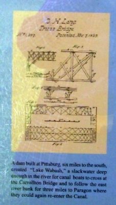
3. "Lake Wabash"
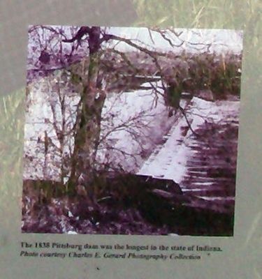
Text reads: “A dam built at Pittsburg, six miles to the south, created “Lake Wabash,” a slackwater deep enough in the river for canal boats to cross at the Carrollton Bridge and to follow the east river bank for three miles to Paragon where they could again re-enter the Canal.”
Photographed By Courtesy:: Carly C. Kindig, September 6, 2010
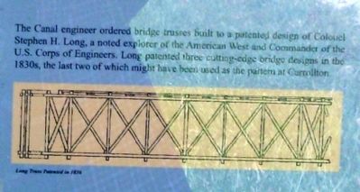
4. Stephen H. Long - Truss Design
Text reads: "The Canal engineer ordered bridge trusses built to a patented design of Colonel Stephen H. Long, a noted explorer of the American West and Commander of the U.S. Corps of Engineers. Long patented three cutting-edge bridge designs in the 1830's, the last two of which might have been used as the pattern at Carrollton."
Photographed By Courtesy:: Carly C. Kindig, September 6, 2010
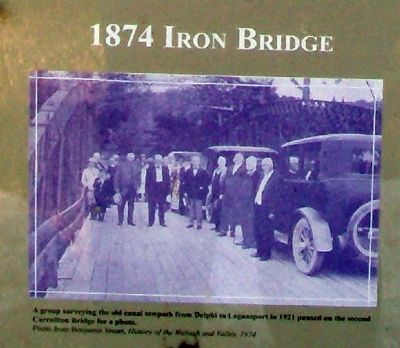
6. 1921 - Checking out the Canal Towpath
Text reads: "A group surveying the old canal towpath from Delphi to Logansport in 1921 paused on the second Carrollton Bridge for a photo."
"Photo from Benjamin Stuart, History of the Wabash and Valley 1924"
Photographed By Courtesy:: Carly C. Kindig, September 6, 2010
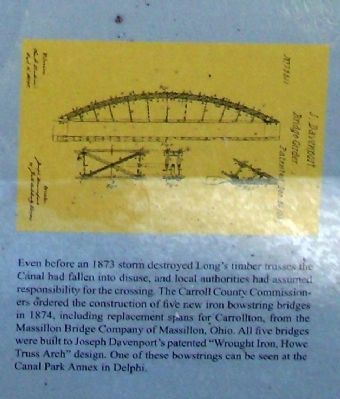
7. "Bowstring Bridges" in 1874
Text reads: "Even before an 1873 storm destroyed Long’s timber trusses the Canal had fallen into disuse, and local authorities had assumed responsibility for the crossing. The Carroll County Commissioners ordered the construction of five new iron bowstring bridges in 1874, including replacement spans for Carrollton, from the Massillon Bridge Company of Massillon, Ohio. All five bridges were built to Joseph Davenport’s patented “Wrought Iron, Howe Truss Arch” design. One of these bowstrings can be seen at the Canal Park Annex in Delphi."
Photographed By Courtesy:: Carly C. Kindig, September 6, 2010
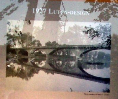
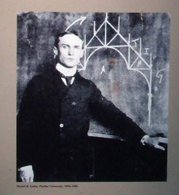
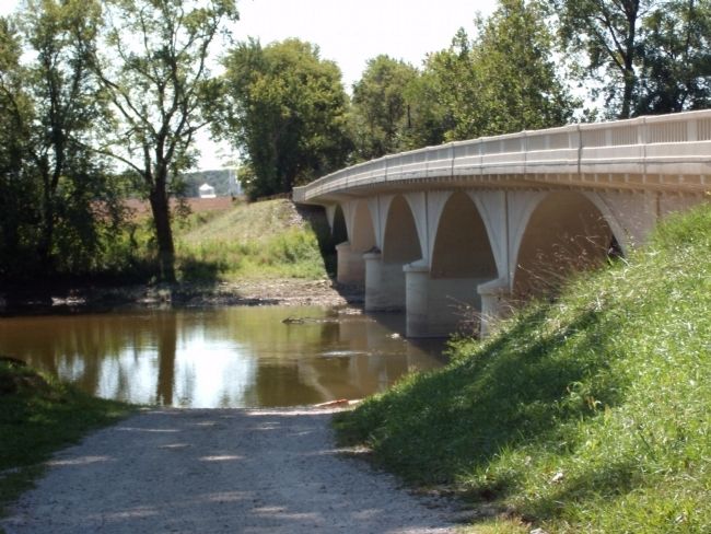
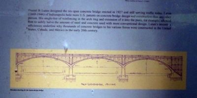
10. Bridge Design
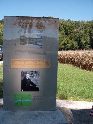
Text reads: "Daniel B. Luten designed the six-span concrete bridge erected in 1927 and still serving traffic today. Luten (1869-1946) of Indianapolis held more U.S. patents on concrete bridge design and construction than any other person. His single-tier of reinforcing in the arch ring and extension of it into the piers, for example, allowed him to safely halve the amount of steel and concrete used with more conventional design. Luten’s inventive efficiencies underline why thousands of concrete bridges to his various forms were constructed in the United States, Canada, and Mexico in the early 20th century."
Photographed By Courtesy:: Carly C. Kindig, September 6, 2010
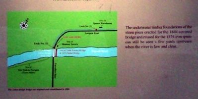
12. Under-water Timber Foundations
Text reads: "The underwater timber foundations of the stone piers erected for the 1844 covered bridge and reused for the 1874 iron spans can still be seen a few yards upstream when the river is low and clear."
Credits. This page was last revised on August 27, 2020. It was originally submitted on September 8, 2010, by Al Wolf of Veedersburg, Indiana. This page has been viewed 1,516 times since then and 22 times this year. Photos: 1, 2, 3, 4, 5, 6, 7, 8, 9, 10, 11, 12, 13, 14, 15, 16, 17. submitted on September 8, 2010, by Al Wolf of Veedersburg, Indiana. 18. submitted on September 10, 2010, by Al Wolf of Veedersburg, Indiana. • Syd Whittle was the editor who published this page.
