Seaford in Sussex County, Delaware — The American Northeast (Mid-Atlantic)
Pilot Town
Erected by Delaware Public Archives. (Marker Number SC-66.)
Topics and series. This historical marker is listed in these topic lists: African Americans • Colonial Era • Waterways & Vessels. In addition, it is included in the Delaware Public Archives series list. A significant historical year for this entry is 1765.
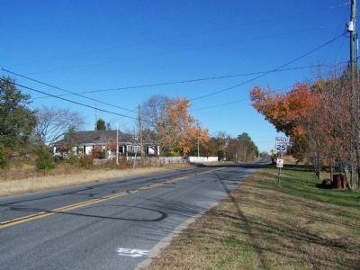
Location. 38° 38.473′ N, 75° 33.684′ W. Marker is in Seaford, Delaware, in Sussex County. Marker is on Church Road close to Henry Road. Touch for map. Marker is in this post office area: Seaford DE 19973, United States of America. Touch for directions.
Other nearby markers. At least 8 other markers are within 3 miles of this marker, measured as the crow flies. Concord United Methodist Church (approx. 0.4 miles away); The M-113 Armored Personnel Carrier (approx. 1˝ miles away); "Commanders Row" (approx. 1˝ miles away); Macedonia A.M.E. Church (approx. 1˝ miles away); Seaford (approx. 1.8 miles away); Veterans Memorial (approx. 2˝ miles away); Seaford Hundred (approx. 2.6 miles away); Governor William H. H. Ross (approx. 2.6 miles away). Touch for a list and map of all markers in Seaford.
Credits. This page was last revised on May 25, 2022. It was originally submitted on December 2, 2010, by Bill Pfingsten of Bel Air, Maryland. This page has been viewed 832 times since then and 50 times this year. Photos: 1, 2. submitted on December 2, 2010, by Bill Pfingsten of Bel Air, Maryland.

