Dobbs Ferry in Westchester County, New York — The American Northeast (Mid-Atlantic)
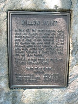
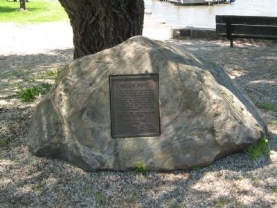
Willow Point
Dedicated in their honor by the Village of Dobbs Ferry, July 4, 1983
Trustees
Erected 1983 by the Village of Dobbs Ferry.
Topics. This historical marker is listed in these topic lists: Colonial Era • Settlements & Settlers • Waterways & Vessels. A significant historical date for this entry is July 4, 1841.
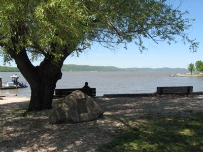
Location. 41° 0.713′ N, 73° 52.828′ W. Marker is in Dobbs Ferry, New York, in Westchester County. Marker is at the intersection of High Street and Station Plaza, on the right when traveling west on High Street. Located in Waterfront Park. Touch for map. Marker is in this post office area: Dobbs Ferry NY 10522, United States of America. Touch for directions.
Other nearby markers. At least 8 other markers are within walking distance of this marker. Dobbs Ferry Memorial Park (approx. 0.2 miles away); Dobbs Ferry Veterans Memorial (approx. ¼ mile away); Battle of Edgar's Lane (approx. 0.9 miles away); Squirrel Alley and River Place / El Callejon Squirrel y Riverview Place (approx. 0.9 miles away); Community Gardens in Zinsser Park / Los Jardines Comunitarios en el Parque Zinsser (approx. 0.9 miles away); The Tower Ridge Neighborhood / El Vecindario de la Torre Ridge (approx. one mile away); After the Battle (approx. one mile away); a different marker also named The Battle of Edgar's Lane (approx. one mile away). Touch for a list and map of all markers in Dobbs Ferry.
Credits. This page was last revised on June 16, 2016. It was originally submitted on May 15, 2011, by Michael Herrick of Southbury, Connecticut. This page has been viewed 839 times since then and 31 times this year. Photos: 1, 2, 3. submitted on May 15, 2011, by Michael Herrick of Southbury, Connecticut.


