Chippewa Falls in Chippewa County, Wisconsin — The American Midwest (Great Lakes)
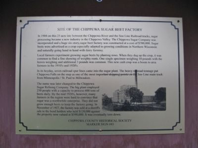
Site of the Chippewa Sugar Beet Factory
Local farmers experiment growing sugar beets by planting rows. When they dug up the crop, it was common to find a fine showing of weighty roots. One single specimen weighing 10 pounds with the leaves weighing an additional 3 pounds was common. This new cash crop was a boom to area farmers in the 1910's and 1920's.
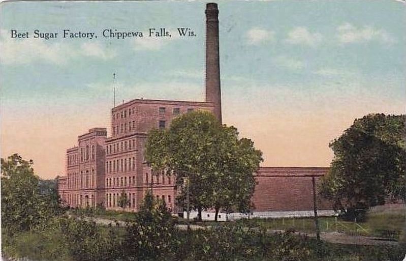
In its heyday, seven railroad spur lines came into the sugar plant. The heavy railroad tonnage put Chippewa Falls on the map as one of the most important shipping points on the Soo Line main track from Minneapolis/St. Paul to Milwaukee.
The name was later changed to the Chippewa Sugar Refining Company. The big plant employed 250 people with a capacity to process 600 tons of beets daily. By the mid 1920's, however, many farmers in the region were hard to convince that sugar was a worthwhile enterprise. They did not grow enough beets to keep the factory going. In November of 1927, the factory was sold at a sheriff's sale to the bond holders who held $120,000 against the property now valued at $590,000. It was eventually torn down.
Marker Sign #43
Erected by Chippewa County Historical Society. (Marker Number 43.)
Topics. This historical marker is listed in these topic lists: Agriculture • Industry & Commerce • Railroads & Streetcars. A significant historical month for this entry is November 1927.
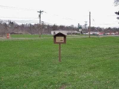
Location. 44° 55.612′ N, 91° 24.647′ W. Marker is in Chippewa Falls, Wisconsin, in Chippewa County. Marker is on West River Street (Business State Highway 29) half a mile west of Wagner Street, on the left when traveling west. Marker is in Wayside Park. Touch for map. Marker is in this post office area: Chippewa Falls WI 54729, United States of America. Touch for directions.
Other nearby markers. At least 8 other markers are within 2 miles of this marker, measured as the crow flies. Cook-Rutledge Mansion (approx. 0.7 miles away); Trinity United Methodist Church (approx. 0.9 miles away); First Presbyterian Church (approx. one mile away); The Norway House & the Birthplace of Alexander Wiley (approx. 1.1 miles away); Oldest Commercial Building in Chippewa Falls (approx. 1.1 miles away); Edward Rutledge Charity (approx. 1.1 miles away); The Federal Building & Early Mail Service (approx. 1.1 miles away); Sokup's Market (approx. 1.1 miles away). Touch for a list and map of all markers in Chippewa Falls.

Photographed By Keith L, April 27, 2011
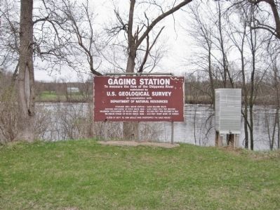
4. Gaging Station
To measure the flow of the Chippewa River
maintained by
U.S. Geological Survey
in cooperation with
Department of Natural Resources
Drainage area above station - 5,600 square miles
Average discharge of river since 1888 - 5,100 cubic feet per second
Maximim discharge of river since 1888 - 102,000 feet per second in 1941
Maximum stage of river since 1888 - 24.8 feet (paint mark on house)
Flood of Sept. 10, 1884 would have overtopped the gage house!
Credits. This page was last revised on October 13, 2020. It was originally submitted on May 25, 2011, by Keith L of Wisconsin Rapids, Wisconsin. This page has been viewed 1,338 times since then and 44 times this year. Photos: 1, 2. submitted on May 25, 2011, by Keith L of Wisconsin Rapids, Wisconsin. 3. submitted on May 5, 2018. 4. submitted on May 25, 2011, by Keith L of Wisconsin Rapids, Wisconsin.


