Missionary Ridge in Chattanooga in Hamilton County, Tennessee — The American South (East South Central)
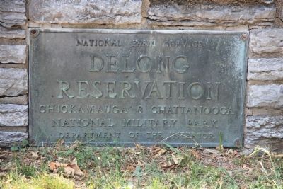
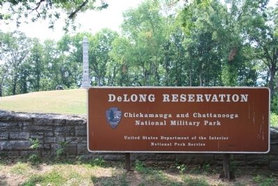
DeLong Reservation
DeLong
Reservation
Chickamauga & Chattanooga
National Military Park
Department of the Interior
Erected by The National Park Service.
Topics. This historical marker is listed in this topic list: War, US Civil.
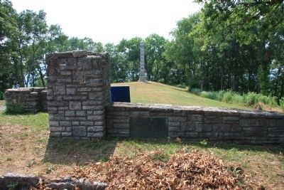
Location. 35° 2.574′ N, 85° 15.216′ W. Marker is in Chattanooga, Tennessee, in Hamilton County. It is in Missionary Ridge. Marker is on North Crest Road south of Brown Wood Drive, on the left when traveling north. In order to view this historical marker one must find a way to get to the crest of Missionary Ridge. The options to use in ascending Missionary Ridge are limited, however, once you are on the ridge you will find this marker in the DeLong Reservation. Touch for map. Marker is in this post office area: Chattanooga TN 37404, United States of America. Touch for directions.
Other nearby markers. At least 8 other markers are within walking distance of this marker. Turchin's Brigade (here, next to this marker); 9th Kentucky Infantry (a few steps from this marker); Confederate Casualties (within shouting distance of this marker); Union Casualties (within shouting distance of this marker); 2nd Minnesota (within shouting distance of this marker); Water's Alabama Battery (within shouting distance of this marker); 11th Ohio Infantry (about 300 feet away, measured in a direct line); 89th Ohio Infantry (about 400 feet away). Touch for a list and map of all markers in Chattanooga.
Credits. This page was last revised on February 7, 2023. It was originally submitted on July 8, 2011, by Dale K. Benington of Toledo, Ohio. This page has been viewed 932 times since then and 36 times this year. Photos: 1, 2, 3, 4. submitted on July 8, 2011, by Dale K. Benington of Toledo, Ohio.


