Council Grove in Morris County, Kansas — The American Midwest (Upper Plains)
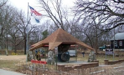
Custer Elm
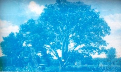
This picture of Custer Elm was taken in 1928 and at that time the tree was estimated to be 300 years old. Dutch elm disease caused it to die in the early 1970's.
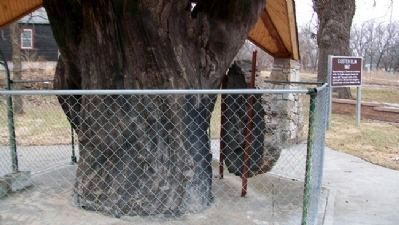
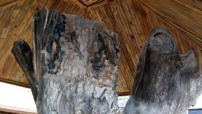
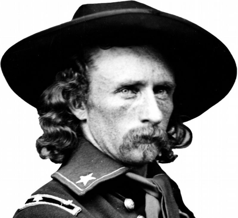
General George Armstrong Custer and his 7th Calvary [sic] regiment camped beneath this tree in 1867 while patroling on the Santa Fe Trail, thus the name Custer Elm was given to the tree. In 1869 Custer and a partner purchased 120 acres just south of this spot and the tree stood on the north edge of the property, closer to Elm Creek and the highway than the trunk and shelter now stand.
Custer was killed June 25, 1876, in the battle of the Little Big Horn by Chiefs Sitting Bull and Crazy Horse, Sioux Indians. His wife Elizabeth and partner sold the acreage on May 31, 1881.
Council Grove Kiwanis Club bought the plot of ground in 1978 to establish Custer Elm Park.
Erected by Council Grove Kiwanis.
Topics and series. This memorial is listed in these topic lists: Roads & Vehicles • Settlements & Settlers • Wars, US Indian. In addition, it is included in the Santa Fe Trail series list. A significant historical date for this entry is May 31, 1881.
Location. 38° 39.349′ N, 96° 29.299′ W. Marker is in Council Grove, Kansas, in Morris County. Memorial is on Neosho Street (State Highway 177) near Elm Street, on the right when traveling south. Marker is in Custer Elm Park. Touch for map. Marker is in this post office area: Council Grove KS 66846, United States of America. Touch for directions.
Other nearby markers. At least 8 other markers are within walking distance of this marker. A different marker also named Custer Elm (here, next to this marker); Bur Oak (a few steps from this marker); Seth Hays Home (approx. ¼ mile away); a different marker also named Seth Hays Home (approx. ¼ mile away); Council Grove (approx. 0.4 miles away); Malcolm Conn Store (approx. 0.4 miles away); Farmers & Drovers Bank (approx. 0.4 miles away); First Santa Fe Pack Train (approx. 0.4 miles away). Touch for a list and map of all markers in Council Grove.
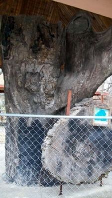
More about this marker. The marker is mounted to a slice of the Custer Elm. The marker is very weathered and difficult to read.
Also see . . .
1. George Armstrong Custer. Wikipedia entry (Submitted on July 23, 2011, by William Fischer, Jr. of Scranton, Pennsylvania.)
2. 8 Wonders of Kansas History: Council Grove, Santa Fe Trail National Historic Landmark. Kansas Sampler Foundation webiste entry (Submitted on July 23, 2011, by William Fischer, Jr. of Scranton, Pennsylvania.)
3. Santa Fe National Historic Trail. National Park Service website entry (Submitted on July 23, 2011, by William Fischer, Jr. of Scranton, Pennsylvania.)
Credits. This page was last revised on January 25, 2022. It was originally submitted on July 23, 2011, by William Fischer, Jr. of Scranton, Pennsylvania. This page has been viewed 1,010 times since then and 100 times this year. Photos: 1, 2, 3, 4, 5. submitted on July 23, 2011, by William Fischer, Jr. of Scranton, Pennsylvania. 6. submitted on February 7, 2019, by Allen C. Browne of Silver Spring, Maryland.
