Near Winterhaven in Imperial County, California — The American West (Pacific Coastal)
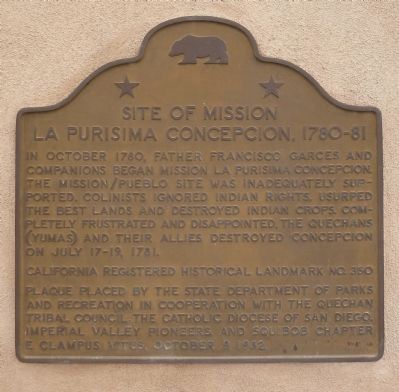
Site of Mission La Purisima Concepcion
1780-1781
Erected 1982 by California Parks & Recreation; Quechan Tribe; Catholic Archdiocese of San Diego; Imperial Valley Pioneers; and Squibob Chapter, E. Clampus VItus. (Marker Number 350.)
Topics and series. This historical marker is listed in these topic lists: Churches & Religion • Native Americans. In addition, it is included in the California Historical Landmarks, and the E Clampus Vitus series lists. A significant historical month for this entry is July 1989.
Location. 32° 43.831′ N, 114° 36.933′ W. Marker is near Winterhaven, California, in Imperial County. Marker is on Quechan Drive, 0.1 miles north of Quechan Road, on the left when traveling north. Touch for map. Marker is in this post office area: Winterhaven CA 92283, United States of America. Touch for directions.
Other nearby markers. At least 8 other markers are within walking distance of this marker. Fray Francisco Hermenegildo Garcés (here, next to this marker); Site of Old Ferry Landing (approx. 0.2 miles away in Arizona); The All-important Colorado River Crossing (approx. 0.2 miles away in Arizona); "Indian Hill" (approx. 0.2 miles away in Arizona); Juan Bautista de Anza National Historic Trail (approx. 0.2 miles away in Arizona); "Ocean to Ocean" Highway Bridge (approx. 0.2 miles away in Arizona); Fort Yuma (approx. 0.2 miles away); View of the Prison from Across the River (approx. 0.2 miles away in Arizona). Touch for a list and map of all markers in Winterhaven.
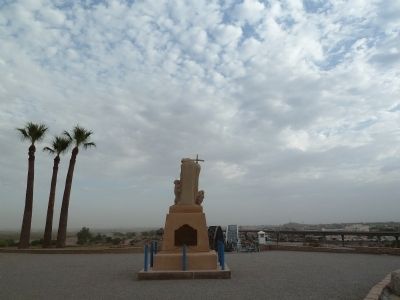
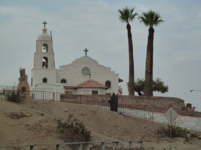
More about this marker. The Mission is on top of a bluff bypassed by Quechan Drive. It can be walked to, and there is sidewalk and trail from the Yuma Crossing Park, or one can park in the Quechan Tribal Museum area - left turn on Picacho Road from Quechan Drive.
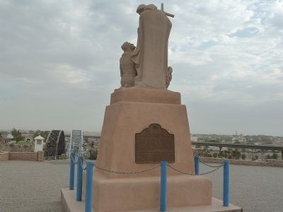
This is also the site of the Fray Francisco Hermenegildo Garcés Marker.
Credits. This page was last revised on March 5, 2022. It was originally submitted on September 6, 2011. This page has been viewed 1,724 times since then and 81 times this year. Photos: 1, 2, 3, 4. submitted on September 6, 2011. • Syd Whittle was the editor who published this page.


