Oregon Hill in Richmond, Virginia — The American South (Mid-Atlantic)
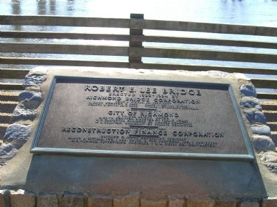
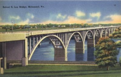
Robert E. Lee Bridge
Richmond Bridge Corporation
John J. Wicker, Jr., President
R. Keith Compton, V. Pres Allen J. Saville, V. Pres.
Horace L. Smith, Jr., V. Pres. Wilmer L. O’Flaherty, Sec-Treas.
——
In conjunction with
City of Richmond
J. Fulmer Bright, Mayor
R. Keith Compton, Director of Public Works
W. C. Carpenter, Chairman of Finance Committee
W. E. Sullivan, Chairman of Streets Committee
——
Financed by loan from
Construction Finance Corporation
Alfredo C. Janni, Consulting Engineer
Allen J. Saville, Inc., • Lee Smith & Van Dervoort, Inc. • Engineers
R.S. Hummel, Supervising Engineer • S. M. Siesel Co., Contractor
Topics. This historical marker is listed in these topic lists: Bridges & Viaducts • War, US Civil. A significant historical year for this entry is 1933.
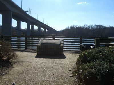
Location. 37° 32.04′ N, 77° 27.001′ W. Marker is in Richmond, Virginia. It is in Oregon Hill. Marker is on Tredegar Street, on the right when traveling east. Touch for map. Marker is in this post office area: Richmond VA 23219, United States of America. Touch for directions.
Other nearby markers. At least 8 other markers are within walking distance of this marker. Water Power (about 400 feet away, measured in a direct line); Welcome to Richmond’s Historic Riverfront (about 400 feet away); Belle Isle (about 500 feet away); John Miller House (approx. 0.2 miles away); Historic Belle Isle (approx. 0.2 miles away); Tredegar in the Twentieth Century / Then and Now (approx. 0.2 miles away); Horseshoe Shops (approx. 0.2 miles away); Making Machines at Tredegar (approx. 0.2 miles away). Touch for a list and map of all markers in Richmond.
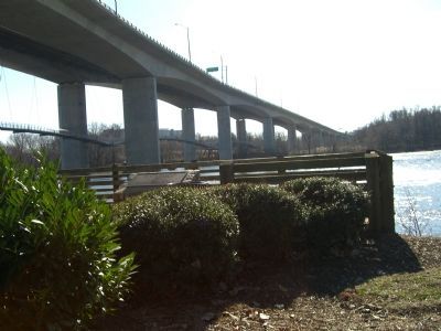
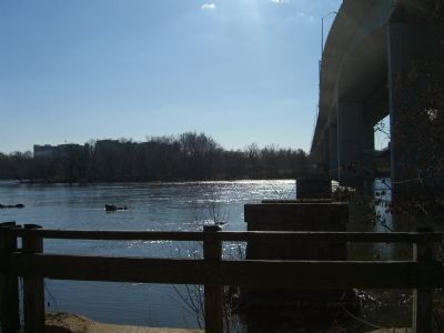
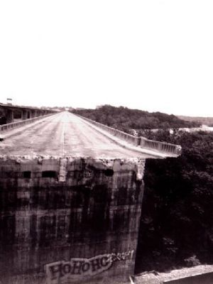
More about this marker. Robert E. Lee Bridge carries Routes 1 and 301 Over the James River in Richmond, VA. The city acquired the original bridge from Richmond Bridge Corporation in 1933, and it was named the James River Bridge but was later renamed for the Confederate general. It was originally constructed as a four lane toll facility and opened in 1934. In the 1980s, a replacement structure was built including a substantial realignment of the approach roadways at the south end. Work was completed in 1989 and it is toll-free. The Virginia War Memorial is located adjacent to its northern end.
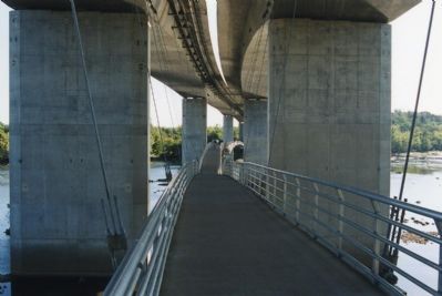
A notable feature is a pedestrian footbridge which hangs below the road deck from Tredegar Street near the site of the Tredegar Iron Works on the north shore over to Belle Isle in the middle of the river.
Note, you cannot access this marker from the Robert E. Lee Bridge.
Credits. This page was last revised on February 1, 2023. It was originally submitted on January 14, 2008, by Kevin W. of Stafford, Virginia. This page has been viewed 2,464 times since then and 106 times this year. Photos: 1, 2, 3, 4, 5, 6, 7. submitted on January 14, 2008, by Kevin W. of Stafford, Virginia.
