Whatley in Clarke County, Alabama — The American South (East South Central)
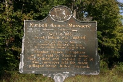
Kimbell - James Massacre
←˝ mile—
Sept. 1, 1813
Creek Indian War. 1813-14
Part of War of 1812. British used Pensacola as base to arm, incite Indians against U.S..
Prophet Francis led Indians in this raid on Kimbell home. They killed and scalped 12 of 14 (two survivors left for dead); pillaged house, killed livestock.
Erected 1954 by Alabama Historical Association.
Topics and series. This historical marker is listed in these topic lists: Native Americans • War of 1812 • Wars, US Indian. In addition, it is included in the Alabama Historical Association series list. A significant historical date for this entry is September 1, 1813.
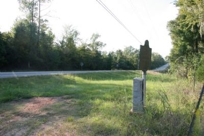
Location. 31° 39.281′ N, 87° 43.172′ W. Marker is in Whatley, Alabama, in Clarke County. Marker is at the intersection of U.S. 84 and County Road 22, on the right when traveling west on U.S. 84. Touch for map. Marker is in this post office area: Whatley AL 36482, United States of America. Touch for directions.
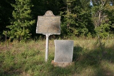
Other nearby markers. At least 8 other markers are within 6 miles of this marker, measured as the crow flies. Reverend Timothy Horton Ball, A. M. (here, next to this marker); Fort Sinquefield (approx. half a mile away); Whatley, Alabama (approx. 0.6 miles away); Old Line Road (approx. 3.2 miles away); Old Indian Trail (approx. 3.9 miles away); Suggsville (approx. 5 miles away); Clarke County Courthouse (approx. 5.1 miles away); Grove Hill, Alabama (approx. 5.1 miles away). Touch for a list and map of all markers in Whatley.
Also see . . . A brutal massacre occurred in Clarke County during the Creek War of 1813. Alabama Pioneers website entry (Submitted on November 20, 2021, by Larry Gertner of New York, New York.)
Credits. This page was last revised on November 20, 2021. It was originally submitted on September 26, 2011, by Timothy Carr of Birmingham, Alabama. This page has been viewed 1,806 times since then and 79 times this year. Photos: 1, 2, 3. submitted on September 26, 2011, by Timothy Carr of Birmingham, Alabama. • Bill Pfingsten was the editor who published this page.


