Near Niagara-on-the-Lake in Niagara Region, Ontario — Central Canada (North America)
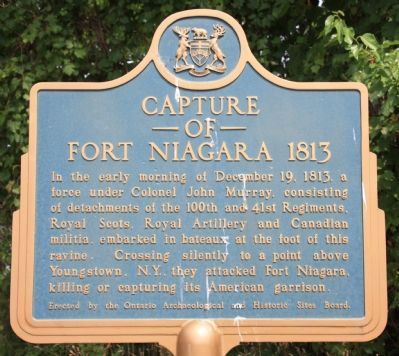
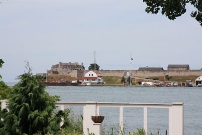
Capture of Fort Niagara 1813
Erected by Erected by the Ontario Archaeological and Historic Sites Board.
Topics. This historical marker is listed in these topic lists: Colonial Era • War of 1812. A significant historical date for this entry is December 19, 1858.
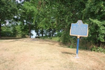
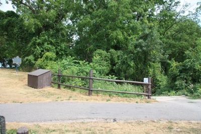
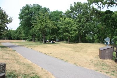
Location. 43° 14.085′ N, 79° 3.641′ W. Marker is near Niagara-on-the-Lake, Ontario, in Niagara Region. Marker is on Niagara Parkway east of East West Line (County Route 85), on the right when traveling north. This historical marker is located on the Canadian side of the Niagara River, south of Niagara-on-the-Lake, along the Niagara Parkway Recreational Trail, just north of a nearby ravine pathway that leads down to the Niagara River. Touch for map. Marker is at or near this postal address: 16052 Niagara Parkway, Niagara-on-the-Lake ON L0S 1J0, Canada. Touch for directions.
Other nearby markers. At least 8 other markers are within 3 kilometers of this marker, measured as the crow flies. McFarland House 1800 (approx. 0.3 kilometers away); Thomas Moore (approx. 0.7 kilometers away); La Belle Famille (approx. 1.1 kilometers away in the U.S.); a different marker also named La Belle Famille (approx. 1.1 kilometers away in the U.S.); Field of La Belle Famille (approx. 1.1 kilometers away in the U.S.); Fox Point Battery (approx. 1.2 kilometers away in the U.S.); The Site of John Young Store (approx. 1.8 kilometers away in the U.S.); Guns Gins and Devil Carts (approx. 1.8 kilometers away). Touch for a list and map of all markers in Niagara-on-the-Lake.
Also see . . .
1. The Storming of Fort Niagara, December 18, 1813. This is a link to information provided by The War of 1812 Website. (Submitted on November 11, 2011, by Dale K. Benington of Toledo, Ohio.)
2. Capture of Fort Niagara. This is a link to information provided by Wikipedia, the free encyclopedia. (Submitted on November 11, 2011, by Dale K. Benington of Toledo, Ohio.)
Credits. This page was last revised on September 27, 2019. It was originally submitted on November 5, 2011, by Dale K. Benington of Toledo, Ohio. This page has been viewed 683 times since then and 15 times this year. Photos: 1, 2, 3, 4, 5. submitted on November 12, 2011, by Dale K. Benington of Toledo, Ohio.
