Dillon in Beaverhead County, Montana — The American West (Mountains)
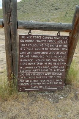
Nez Perce Camp
Topics and series. This historical marker is listed in these topic lists: Native Americans • Wars, US Indian. In addition, it is included in the The Nez Perce Trail series list. A significant historical date for this entry is August 12, 1806.
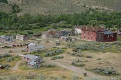
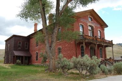
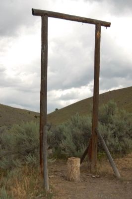
Location. 45° 9.706′ N, 112° 59.756′ W. Marker is in Dillon, Montana, in Beaverhead County. Marker can be reached from Bannack Road. This marker is located in Bannack State Park on a side 'road' leading to the Plummer Gallows. Foot traffic only inside the park. Touch for map. Marker is in this post office area: Dillon MT 59725, United States of America. Touch for directions.
Other nearby markers. At least 8 other markers are within 14 miles of this marker, measured as the crow flies. Bannack (about 700 feet away, measured in a direct line); A Tribute to Sidney Edgerton (about 800 feet away); a different marker also named Bannack (about 800 feet away); Bannack Historical District (approx. 0.2 miles away); Grasshopper Creek (approx. 0.7 miles away); The First Electric Gold Dredge (approx. 0.7 miles away); The Way It Used To Be... Way Back (approx. 10.3 miles away); Sacajawea (approx. 13.2 miles away). Touch for a list and map of all markers in Dillon.
Also see . . .
1. The Nez Perce War. (Submitted on November 15, 2011, by Barry Swackhamer of Brentwood, California.)
2. Henry Plummer - Wikipedia. Henry Plummer was the sheriff of Bannack, but also the leader of a gang of outlaws called the Innocents. (Submitted on November 15, 2011, by Barry Swackhamer of Brentwood, California.)
3. Henry Plummer man of mystery. (Submitted on November 15, 2011, by Barry Swackhamer of Brentwood, California.)
Credits. This page was last revised on October 5, 2018. It was originally submitted on November 15, 2011, by Barry Swackhamer of Brentwood, California. This page has been viewed 962 times since then and 34 times this year. Photos: 1, 2, 3, 4. submitted on November 15, 2011, by Barry Swackhamer of Brentwood, California. • Bill Pfingsten was the editor who published this page.


