Near Lewisburg in Greenbrier County, West Virginia — The American South (Appalachia)
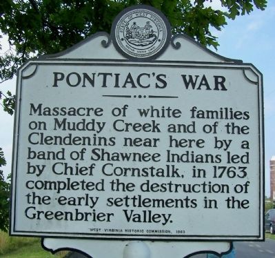
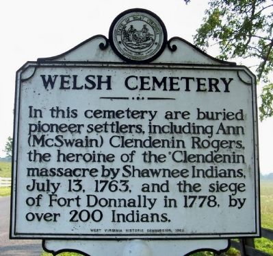
Pontiac's War / Welsh Cemetery
Erected 1963 by West Virginia Historic Commission.
Topics and series. This historical marker is listed in these topic lists: Cemeteries & Burial Sites • Settlements & Settlers • War, French and Indian. In addition, it is included in the West Virginia Archives and History series list. A significant historical date for this entry is July 13, 1789.
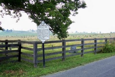
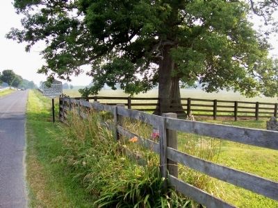
Location. 37° 47.297′ N, 80° 28.9′ W. Marker is near Lewisburg, West Virginia, in Greenbrier County. Marker is on Houfnaggle Road (County Route 35) 1.8 miles south of Midland Trails Road (U.S. 60), on the left when traveling north. In front of the Welsh Cemetery. Touch for map. Marker is in this post office area: Lewisburg WV 24901, United States of America. Touch for directions.
Other nearby markers. At least 8 other markers are within 2 miles of this marker, measured as the crow flies. Coffman (approx. 1˝ miles away); The Hanging of David Creigh (approx. 1.8 miles away); Lewisburg (approx. 1.8 miles away); Battle of Lewisburg (approx. 1.9 miles away); Confederate Cemetery (approx. 1.9 miles away); a different marker also named Lewisburg (approx. 1.9 miles away); Big Lime (approx. 2 miles away); Dick Pointer (approx. 2 miles away). Touch for a list and map of all markers in Lewisburg.
Credits. This page was last revised on June 8, 2020. It was originally submitted on December 11, 2011, by Forest McDermott of Masontown, Pennsylvania. This page has been viewed 1,525 times since then and 64 times this year. Photos: 1, 2, 3, 4. submitted on December 11, 2011, by Forest McDermott of Masontown, Pennsylvania. • Bill Pfingsten was the editor who published this page.


