San Diego in San Diego County, California — The American West (Pacific Coastal)
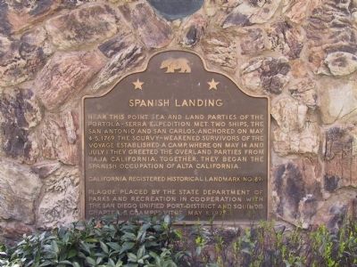
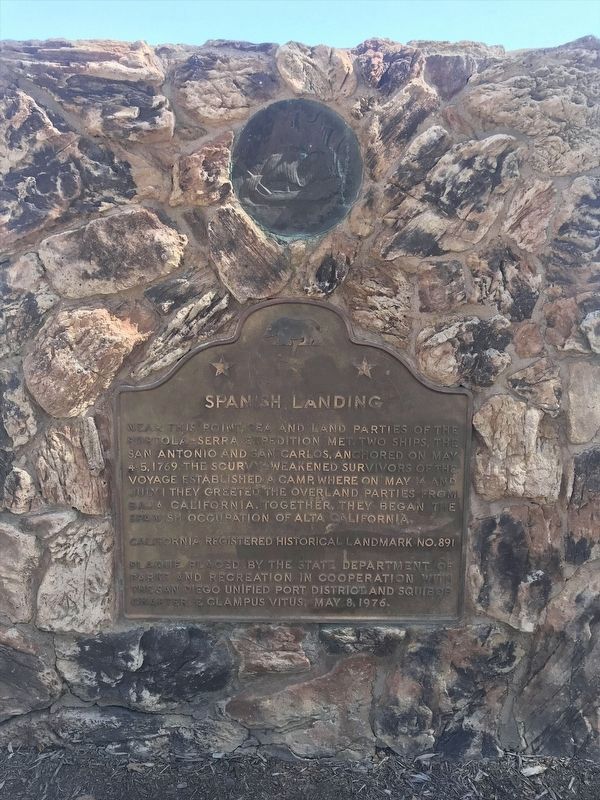
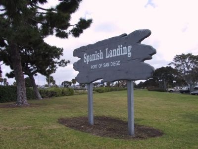
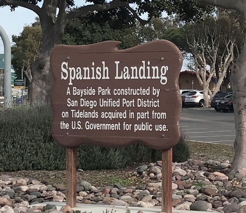
Spanish Landing
Erected 1976 by State Department of Parks and Recreation in cooperation with the San Diego Unified Port District and Squibob Chapter, E Clampus Vitus. (Marker Number 891.)
Topics and series. This historical marker is listed in these topic lists: Exploration • Hispanic Americans • Notable Places • Waterways & Vessels. In addition, it is included in the California Historical Landmarks, the E Clampus Vitus, and the Portolá Expedition series lists. A significant historical month for this entry is May 1716.
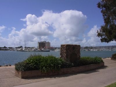
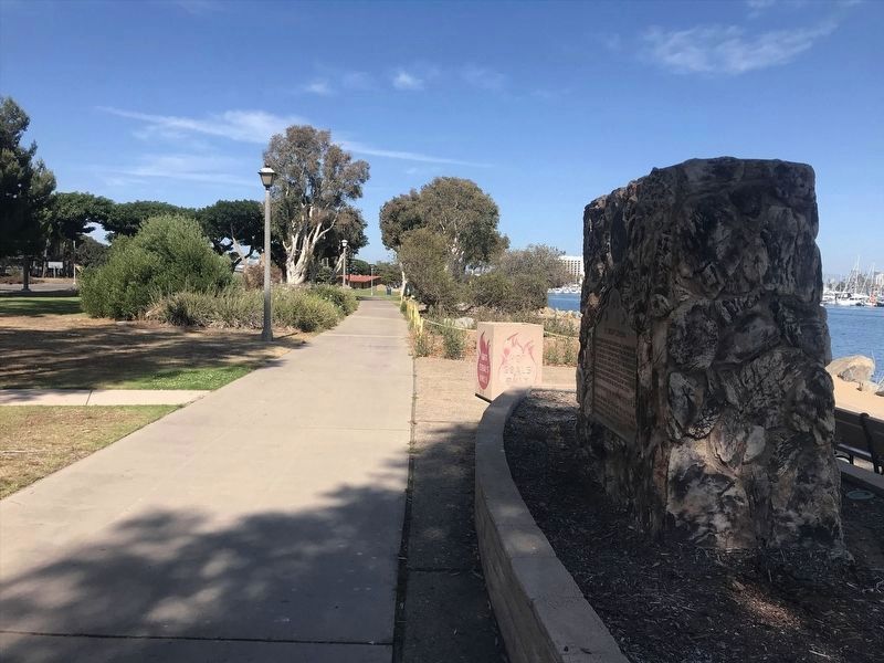
Location. 32° 43.72′ N, 117° 12.425′ W. Marker is in San Diego, California, in San Diego County. Marker can be reached from North Harbor Drive, on the right when traveling east. Marker is located in Spanish Landing Park. Touch for map. Marker is in this post office area: San Diego CA 92101, United States of America. Touch for directions.
Other nearby markers. At least 8 other markers are within walking distance of this marker. USS Recruit (approx. half a mile away); Gun Platform No. 1 - 1945 (approx. 0.6 miles away); Gun Platform No. 2 - 1945 (approx. 0.6 miles away); Ingram Plaza (approx. 0.6 miles away); a different marker also named Ingram Plaza (approx. 0.7 miles away); Command Center, Building 200 (approx. ¾ mile away); North Chapel, Building 208 (approx. 0.8 miles away); Library Building 177 (approx. 0.8 miles away). Touch for a list and map of all markers in San Diego.
Credits. This page was last revised on February 24, 2022. It was originally submitted on December 29, 2011, by Michael Kindig of Elk Grove, California. This page has been viewed 912 times since then and 30 times this year. Photos: 1. submitted on December 30, 2011, by Michael Kindig of Elk Grove, California. 2. submitted on February 16, 2022, by Adam Margolis of Mission Viejo, California. 3. submitted on December 30, 2011, by Michael Kindig of Elk Grove, California. 4. submitted on February 16, 2022, by Adam Margolis of Mission Viejo, California. 5. submitted on December 30, 2011, by Michael Kindig of Elk Grove, California. 6. submitted on February 16, 2022, by Adam Margolis of Mission Viejo, California. • Syd Whittle was the editor who published this page.
