Sanford in Seminole County, Florida — The American South (South Atlantic)
Steamboats
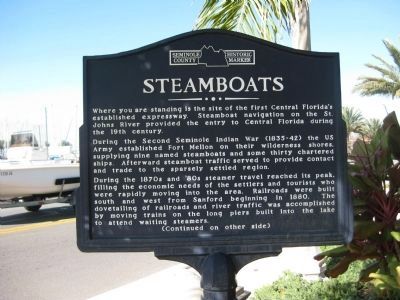
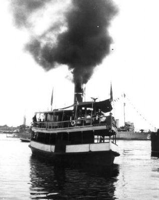
During the Second Seminole War (1835-42) the US Army established Fort Mellon on their wilderness shores, supplying nine named steamboats and some thirty chartered ships. Afterward steamboat traffic served to provide contact and trade to the sparsely settled region.
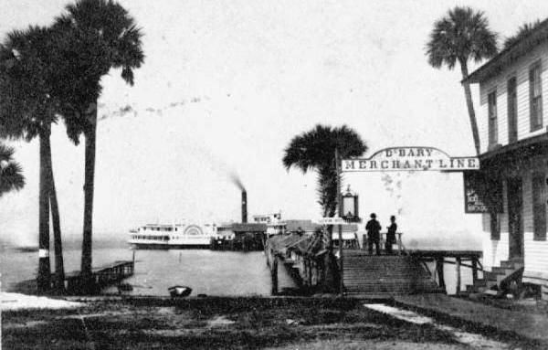
During the 1870s and '80s steamer travel reached its peak, filling the economic needs of the settlers and tourists who were rapidly moving into the area. Railroads were built south and west from Sanford beginning in 1880. The dovetailing of railroads and river traffic was accomplished by moving trains on the long piers built into the lake to attend waiting steamers.
(Reverse side):
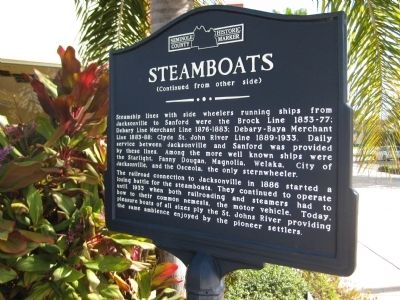
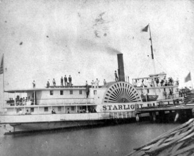
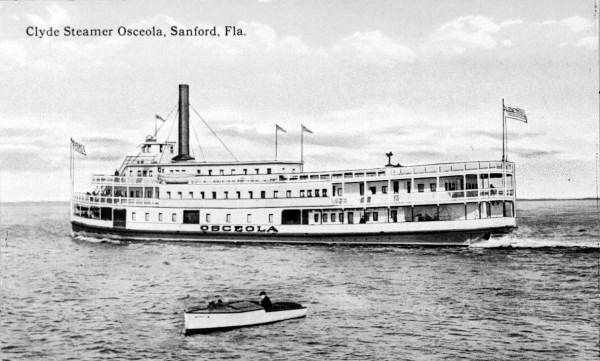
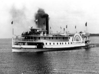
Steamship lines with side wheelers running ships from Jacksonville to Sanford were the Brock Line 1853-77; Debary Line Merchant Line 1876-1883; Debary-Baya Merchant Line 1883-88; Clyde St. John River Line 1889-1933. Daily service between Jacksonville and Sanford was provided by these lines. Among the more well known ships were the Starlight, Fanny Dougan, Magnolia, Welaka, City of Jacksonville, and the Osceola, the only sternwheeler.
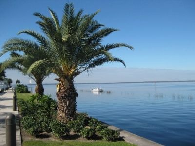
The railroad connection to Jacksonville in 1886 started a losing battle for the steamboats. They continued to operate until 1933 when both railroading and steamers had to bow to their common nemesis, the motor vehicle. Today, pleasure boats of all sizes ply the St. Johns River providing the same ambience enjoyed by the pioneer settlers.
Topics. This historical marker is listed in these topic lists: Industry & Commerce • Railroads & Streetcars • Wars, US Indian • Waterways & Vessels. A significant historical year for this entry is 1880.
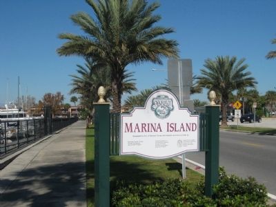
Location. 28° 48.847′ N, 81° 15.956′ W. Marker is in Sanford, Florida, in Seminole County. Marker is at the intersection of East Seminole Boulevard and North Palmetto Avenue, on the left when traveling east on East Seminole Boulevard. The marker is situated along the sidewalk near the entrance to Marina Island. Touch for map. Marker is in this post office area: Sanford FL 32771, United States of America. Touch for directions.
Other nearby markers. At least 8 other markers are within walking distance of this marker. Sanford Est. 1877 (here, next to this marker); a different marker also named Sanford Est. 1877 (within shouting distance of this marker); Citrus to Celery (about 400 feet away, measured in a direct line); a different marker also named Sanford Est. 1877 (about 500 feet away); Veterans Memorial Park (about 700 feet away); American Revolution (about 700 feet away); War of 1812 (about 700 feet away); Seminole County World War Monument (about 700 feet away). Touch for a list and map of all markers in Sanford.
Regarding Steamboats. The marker is capped with the Seminole County Historic Marker logo.
Credits. This page was last revised on June 16, 2016. It was originally submitted on February 8, 2012, by Glenn Sheffield of Tampa, Florida. This page has been viewed 1,293 times since then and 50 times this year. Photos: 1, 2, 3, 4. submitted on February 8, 2012, by Glenn Sheffield of Tampa, Florida. 5. submitted on February 9, 2012, by Glenn Sheffield of Tampa, Florida. 6. submitted on February 8, 2012, by Glenn Sheffield of Tampa, Florida. 7. submitted on February 9, 2012, by Glenn Sheffield of Tampa, Florida. 8, 9, 10. submitted on February 8, 2012, by Glenn Sheffield of Tampa, Florida. • Craig Swain was the editor who published this page.
