Maumee in Lucas County, Ohio — The American Midwest (Great Lakes)
Battle of Fallen Timbers
Inscription.
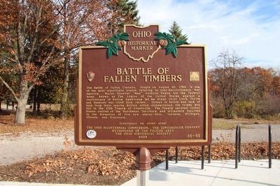
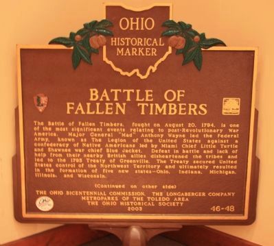
The Battle of Fallen Timbers, fought on August 20, 1794, is one of the most significant events relating to post-Revolutionary War America. Major General "Mad" Anthony Wayne led the Federal Army, known as The Legion of the United States against a confederacy of Native Americans led by Miami Chief Little Turtle and Shawnee war chief Blue Jacket. Defeat in battle and lack of help from their nearby British allies disheartened the tribes and lead to the 1795 Treaty of Greenville. The Treaty secured United States control of the Northwest Territory and ultimately resulted in the formation of five new states-Ohio, Indiana, Michigan, Illinois, and Wisconsin. (continued on other side)
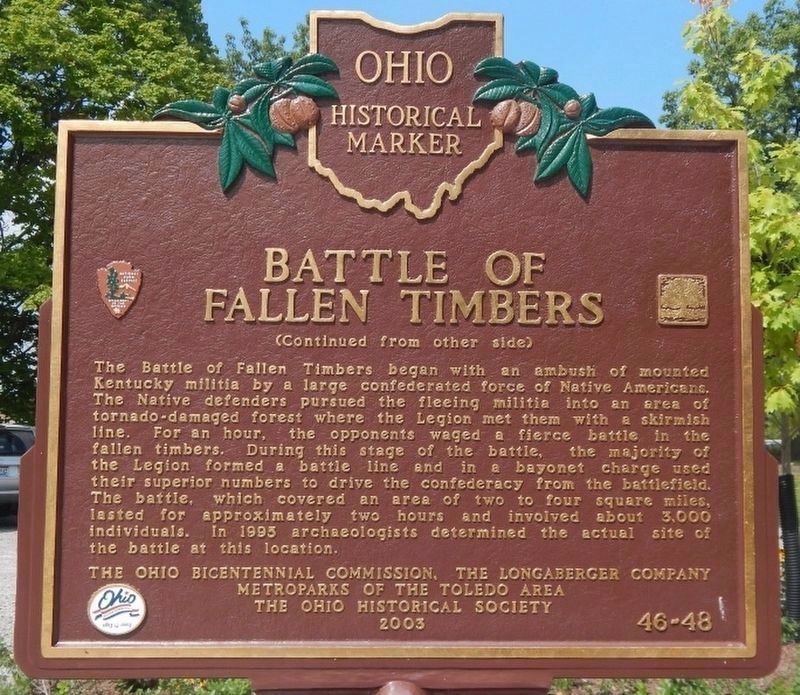
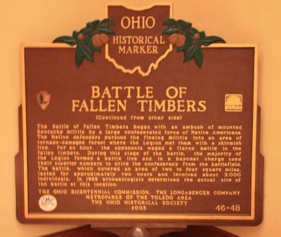
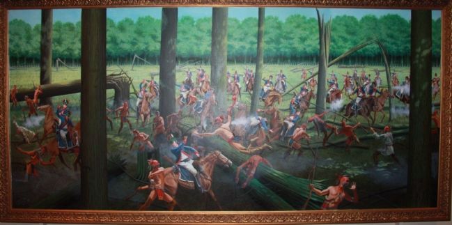
(continued from other side) The Battle of Fallen Timbers began with an ambush of mounted Kentucky militia by a large confederated force of Native Americans. The Native defenders pursued the fleeing militia into an area of tornado-damaged forest where the Legion met them with a skirmish line. For an hour, the opponents waged a fierce battle in the fallen timbers. During this stage of the battle, the majority of the Legion formed a battle line and in a bayonet charge used their superior numbers to drive the confederacy from the battlefield. The battle, which covered an area of two to four square miles, lasted for approximately two hours and involved about 3,000 individuals. In 1995 archaeologists determined the actual site of the battle at this location.
Erected 2003 by Ohio Bicentennial Commission, The Longaberger Company, Metroparks of The Toledo Area, and The Ohio Historical Society . (Marker Number 46-48.)
Topics and series. This historical marker is listed in these topic lists: Native Americans • Wars, US Indian. In addition, it is included in the Ohio Historical Society / The Ohio History Connection series list. A significant historical date for this entry is August 20, 1794.
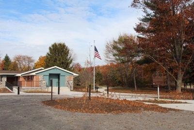
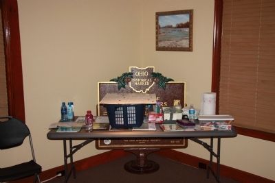
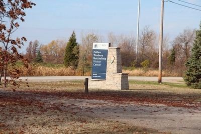
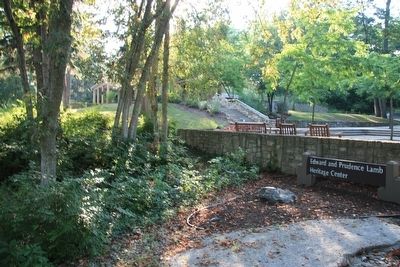
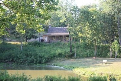
Location. 41° 32.978′ N, 83° 41.925′ W. Marker is in Maumee, Ohio, in Lucas County. Marker is on North Jerome Road south of Monclova Road, on the left when traveling south. For quite some time (I assume since 2003) this marker was housed inside of the Edward and Prudence Lamb Heritage Center (1025 West River Road), over at Side Cut Metro Park, however, with the opening of the new Fallen Timbers Battlefield, Metro Park and Visitor Center, things have changed. Now the marker is situated outdoors, in the Visitor Center parking area. Touch for map. Marker is at or near this postal address: 4949 North Jerome Road , Maumee OH 43537, United States of America. Touch for directions.
Other nearby markers. At least 8 other markers are within walking distance of this marker. Why Fight Here? (about 400 feet away, measured in a direct line); Partners in Preservation (about 500 feet away); Unfair Negotiations (about 600 feet away); Early American Defeats (about 700 feet away); Fighting Forces (about 800 feet away); A Long March (approx. 0.2 miles away); Cover and Camouflage (approx. ¼ mile away); Caught Off Guard (approx. ¼ mile away). Touch for a list and map of all markers in Maumee.
More about this marker. This marker was moved from the Edward and Prudence Lamb Heritage Center, over at Side Cut Metro Park, to the Fallen Timbers Battlefield Park, when the new park opened in October of 2015.
Credits. This page was last revised on August 9, 2021. It was originally submitted on April 15, 2012, by Dale K. Benington of Toledo, Ohio. This page has been viewed 1,824 times since then and 58 times this year. Photos: 1. submitted on November 5, 2015, by Dale K. Benington of Toledo, Ohio. 2. submitted on July 27, 2021, by Michael Golch of Cleveland, Ohio. 3, 4. submitted on April 24, 2012, by Dale K. Benington of Toledo, Ohio. 5. submitted on November 5, 2015, by Dale K. Benington of Toledo, Ohio. 6, 7. submitted on April 24, 2012, by Dale K. Benington of Toledo, Ohio. 8. submitted on November 5, 2015, by Dale K. Benington of Toledo, Ohio. 9, 10. submitted on April 24, 2012, by Dale K. Benington of Toledo, Ohio. • Bill Pfingsten was the editor who published this page.
