Upper Shockoe Valley in Richmond, Virginia — The American South (Mid-Atlantic)
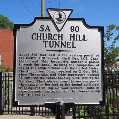
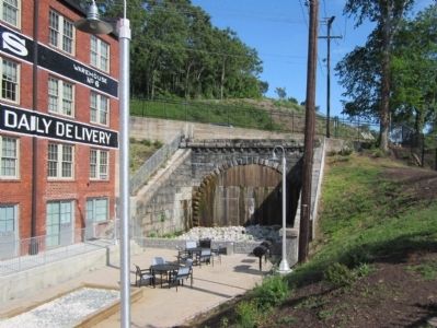
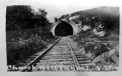
Church Hill Tunnel
Erected 2011 by Department of Historic Resources. (Marker Number SA-90.)
Topics and series. This historical marker is listed in these topic lists: Cemeteries & Burial Sites • Disasters • Railroads & Streetcars. In addition, it is included in the Virginia Department of Historic Resources (DHR) series list. A significant historical date for this entry is December 11, 1873.
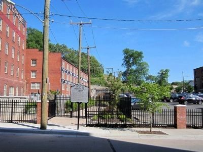
Location. 37° 32.202′ N, 77° 25.434′ W. Marker is in Richmond, Virginia. It is in Upper Shockoe Valley. Marker is at the intersection of North 18th Street (U.S. 360) and East Marshall Street, on the right when traveling north on North 18th Street. Touch for map. Marker is at or near this postal address: 423 N 18th St, Richmond VA 23223, United States of America. Touch for directions.
Other nearby markers. At least 8 other markers are within walking distance of this marker. Branch Public Baths (about 600 feet away, measured in a direct line); Trinity Methodist Church (approx. 0.2 miles away); Craig House (approx. 0.2 miles away); Lockwood Double House, 1845 (approx. 0.2 miles away); Richmond's African Burial Ground (approx. 0.2 miles away); Execution of Gabriel (approx. 0.2 miles away); Slave Rebellion leader Gabriel Prasser… (approx. ¼ mile away); 2106 E. Broad Street (approx. ¼ mile away). Touch for a list and map of all markers in Richmond.
Also see . . . Church Hill Tunnel. Wikipedia (Submitted on April 25, 2012.)
Credits. This page was last revised on February 1, 2023. It was originally submitted on April 25, 2012, by Bernard Fisher of Richmond, Virginia. This page has been viewed 2,106 times since then and 69 times this year. Photos: 1, 2, 3. submitted on April 25, 2012, by Bernard Fisher of Richmond, Virginia. 4. submitted on May 10, 2012, by Bernard Fisher of Richmond, Virginia.


