South Portland in Cumberland County, Maine — The American Northeast (New England)
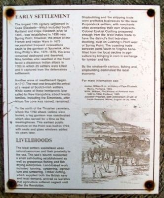
Early Settlement
The largest 17th century settlement in Cape Elizabeth - which included South Portland and Cape Elizabeth prior to 1895 - was established in 1658 near Spring Point. However, the onset of the French and Indian Wars in 1675 necessitated frequent evacuations south to the garrison at Spurwink. After King Philip's War, 1675-1678, this area remained destroyed and deserted. Nine families who resettled at the Point faced a disastrous Indian attack in 1703 in which 25 settlers were killed and 8 captured from the defenseless settlement.
Another wave of resettlement began in 1717. The next year brought the arrival of a vessel of Scotch [sic]-Irish settlers. While some of these immigrants later sailed for New Hampshire, about twenty families, including the Simontons, after whom the cove was named, remained.
To the north of the Thrasher cemetery, where the 1703 attack victims were buried, a log garrison was constructed which also served for a time as the meetinghouse. This earliest public structure on the Point was built in 1722, with seats and glass windows added six years later.
Livelihoods
The local settlers capitalized upon natural resources and their proximity to the sea. The sea's bounty supported a small salt-boiling establishment as well as prosperous fishing and fish drying enterprises. Land-based work included tanning, coopering, agriculture and lumbering. Timber cutting, which supported both the British navy and local demand, proved so lucrative that agriculture suffered neglect until after the Revolution.
Shipbuilding and the shipping trade were profitable businesses for the local Purpooduck settlers, with merchants often overseeing their own shipyards. Colonel Ezekiel Cushing prospered enough from the West Indies trade to have the district's first two-story dwelling, built on Cushing's Point west of Spring Point. The coastal trade between ports south to Virginia benefitted from the local decline in agriculture by bringing in corn in exchange for lumber and fish.
By the nineteenth century, fishing and shipbuilding dominated the local economy.
For more information see:
Jordan, William B. Jr., A History of Cape Elizabeth, Maine, Portland, 1965.
Willis, William, The History of Portland from 1632 to 1864, Portland, 1865.
Souvenir Program, 50th Anniversary of City of South Portland, Maine, August 28-29, 1948.
Topics. This historical marker is listed in these topic lists: Colonial Era • Settlements & Settlers • War, French and Indian. A significant historical year for this entry is 1895.
Location. 43° 38.904′ N, 70° 13.563′ W. Marker is in South Portland
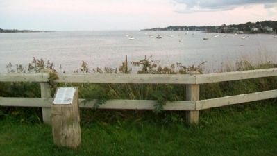
, Maine, in Cumberland County. Marker is along the Spring Point Shoreway Trail on the Southern Maine Community College Campus, about 100 feet ESE of the intersection of McKernan Drive and Bunker Lane. Touch for map. Marker is in this post office area: South Portland ME 04106, United States of America. Touch for directions.
Other nearby markers. At least 8 other markers are within walking distance of this marker. Shipbuilding (a few steps from this marker); Fort Gorges (about 400 feet away, measured in a direct line); Coast Artillery Corps at Fort Preble (about 500 feet away); Coast Artillery Corps Memorial (about 500 feet away); Civilian Conservation Corps (about 500 feet away); Spring Point Ledge Light (about 600 feet away); First Congregational Church of South Portland (about 700 feet away); West Yard (approx. 0.2 miles away). Touch for a list and map of all markers in South Portland.
Credits. This page was last revised on October 29, 2020. It was originally submitted on May 26, 2012, by William Fischer, Jr. of Scranton, Pennsylvania. This page has been viewed 1,053 times since then and 69 times this year. Photos: 1, 2, 3. submitted on May 26, 2012, by William Fischer, Jr. of Scranton, Pennsylvania.


