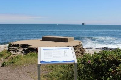
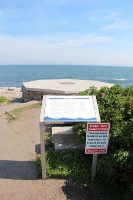
The 1749 Foundation
Initially built to provide safe passage into Newport's colonial harbor, it was designed and built by Peter Harrison, "America's first architect," who later designed the Redwood library, Touro Synagogue and the brick market in Newport. Beavertail was the third lighthouse built in the American Colonies.
Until recently it was believed the first light tower was circular in shape. However, a 2008 ground penetrating radar survey determined it was octagonal, made of wood, that tower burned down in 1753.
A stone tower was built in 1753. in 1779, the British burned the tower as they departed Rhode Island and removed some of the lighting equipment.
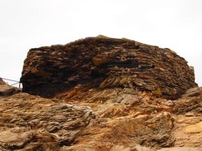
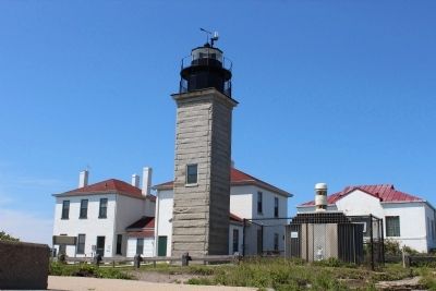
In 1856, the present granite light tower was constructed farther from shore, the old stone tower was torn down and a fog signal building was built on the foundation.>p> This old foundation was hidden and forgotten until the great hurricane of 1938 destroyed the fog signal building, tore up the ground in front of the light tower, and uncovered it.
During World War II, the Rhode Island National Guard installed a searchlight, a mobile gun emplacement, and range finding equipment on top of the concrete cap. Later, an electrical fog light was placed on the cap.
Erected by
Topics and series. This historical marker is listed in these topic lists: Colonial Era • War, US Revolutionary • War, World II • Waterways & Vessels. In addition, it is included in the Lighthouses series list. A significant historical year for this entry is 1749.
Location. 41° 26.951′ N, 71° 23.964′ W. Marker is in Jamestown, Rhode Island, in Newport County. Marker is on Beavertail Road, on the right when traveling south. Touch for map. Marker is in this post office area: Jamestown RI 02835, United States of America. Touch for directions.
Other nearby markers. At least 8 other markers are within walking distance of this marker. Foundation of the Original Beavertail Lighthouse (here, next to this marker); The Granite Light Tower (within shouting distance of this marker); The Keeper's House (within shouting distance of this marker); Fog Signal Building (within shouting distance of this marker); The West Passage to Narragansett Bay (within shouting distance of this marker); The Assistant Keeper's House (within shouting distance of this marker); Whale Rock Lighthouse (within shouting distance of this marker); Oil Storage Building (within shouting distance of this marker). Touch for a list and map of all markers in Jamestown.
Also see . . . Beavertail Lighthouse Museum Association. (Submitted on June 16, 2012, by Bryan Simmons of Attleboro, Massachusetts.)
Credits. This page was last revised on October 31, 2019. It was originally submitted on June 16, 2012, by Bryan Simmons of Attleboro, Massachusetts. This page has been viewed 644 times since then and 13 times this year. Photos: 1. submitted on June 16, 2012, by Bryan Simmons of Attleboro, Massachusetts. 2, 3. submitted on September 15, 2015, by Dale K. Benington of Toledo, Ohio. 4, 5. submitted on June 16, 2012, by Bryan Simmons of Attleboro, Massachusetts. • Bill Pfingsten was the editor who published this page.


