Quemahoning Township near Stoystown in Somerset County, Pennsylvania — The American Northeast (Mid-Atlantic)
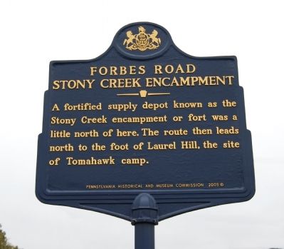
Forbes Road
Stony Creek Encampment
Erected 2005 by Pennsylvania Historical and Museum Commission.
Topics and series. This historical marker is listed in these topic lists: Roads & Vehicles • War, French and Indian. In addition, it is included in the Forbes Road, and the Pennsylvania Historical and Museum Commission series lists.
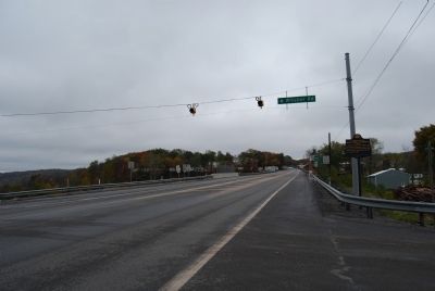
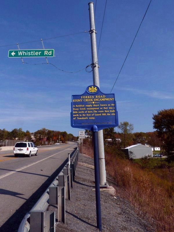
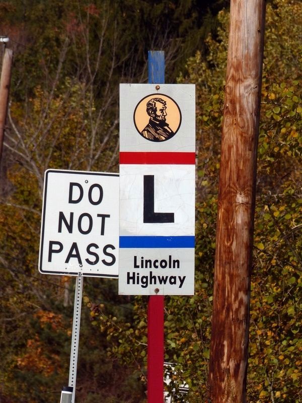
Location. 40° 5.839′ N, 78° 56.659′ W. Marker is near Stoystown, Pennsylvania, in Somerset County. It is in Quemahoning Township. Marker is at the intersection of Lincoln Highway (U.S. 30) and Whistler Road (Pennsylvania Route 403) on Lincoln Highway. Touch for map. Marker is in this post office area: Stoystown PA 15563, United States of America. Touch for directions.
Other nearby markers. At least 8 other markers are within 4 miles of this marker, measured as the crow flies. Quemahoning Township Veterans Memorial (approx. half a mile away); Roadside Enterprise (approx. 0.6 miles away); a different marker also named Forbes Road (approx. 0.7 miles away); Highway Enterprise (approx. 0.7 miles away); September 11, 2001 (approx. 3.2 miles away); Flight 93 National Memorial (approx. 3.3 miles away); A Field of Honor (approx. 3.4 miles away); Tower of Voices (approx. 3.4 miles away). Touch for a list and map of all markers in Stoystown.
Credits. This page was last revised on February 7, 2023. It was originally submitted on October 7, 2012, by Mike Wintermantel of Pittsburgh, Pennsylvania. This page has been viewed 837 times since then and 21 times this year. Photos: 1, 2. submitted on October 7, 2012, by Mike Wintermantel of Pittsburgh, Pennsylvania. 3, 4. submitted on December 23, 2016, by Allen C. Browne of Silver Spring, Maryland.


