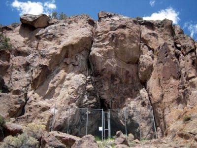
Near Austin in Lander County, Nevada — The American Mountains (Southwest)
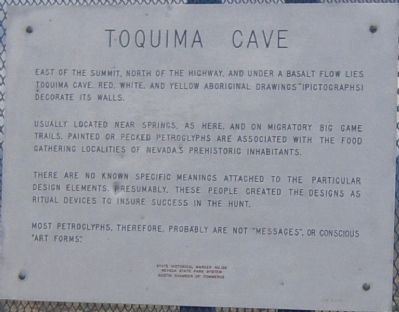
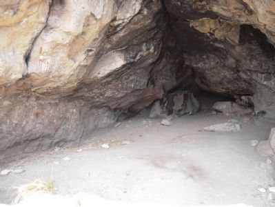
Toquima Cave
Usually located near springs, as here, and on migratory big game trails, painted or pecked petroglyphs are associated with the food gathering localities of Nevada's prehistoric inhabitants.
There are no known specific meanings attached to the particular design elements. Presumably, these people created the designs as ritual devices to insure success in the hunt.
Most petroglyphs, therefore, probably are not "messages", or conscious "art forms".
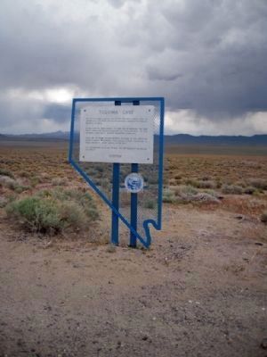
Erected by Nevada State Park System and Austin Chamber of Commerce. (Marker Number 136.)
Topics. This historical marker is listed in these topic lists: Anthropology & Archaeology • Native Americans.
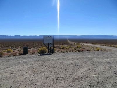
Location. 39° 23.994′ N, 116° 56.51′ W. Marker is near Austin, Nevada, in Lander County. Marker is on Nevada Route 376, 0.4 miles south of U.S. 50, on the left when traveling south. Touch for map. Marker is in this post office area: Austin NV 89310, United States of America. Touch for directions.
Other nearby markers. At least 8 other markers are within 10 miles of this marker, measured as the crow flies. The Surveyors (approx. 4.9 miles away); Reuel Colt Gridley (approx. 9 miles away); St. George's Episcopal Church (approx. 9.3 miles away); Austin Methodist Church (approx. 9.3 miles away); Austin Churches (approx. 9.3 miles away); Lander County Courthouse (approx. 9.4 miles away); The Pony Express (approx. 9.4 miles away); Austin Masonic and Oddfellows Hall (1867) (approx. 9.4 miles away). Touch for a list and map of all markers in Austin.
Regarding Toquima Cave. Toquima Cave is located 17 miles southeast of the marker.
Also see . . . The Backyard Traveler. A blog post on a visit to Toquima Cave and its pictographs. (Submitted on December 25, 2012, by Duane Hall of Abilene, Texas.)
Credits. This page was last revised on June 16, 2016. It was originally submitted on December 25, 2012, by Duane Hall of Abilene, Texas. This page has been viewed 574 times since then and 22 times this year. Photos: 1, 2. submitted on December 25, 2012, by Duane Hall of Abilene, Texas. 3. submitted on October 22, 2013, by Bill Kirchner of Tucson, Arizona. 4. submitted on December 25, 2012, by Duane Hall of Abilene, Texas. 5. submitted on March 24, 2015, by Duane Hall of Abilene, Texas. • Syd Whittle was the editor who published this page.
