Fincastle in Botetourt County, Virginia — The American South (Mid-Atlantic)
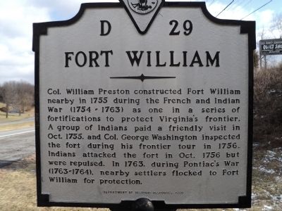
Fort William
Erected 1999 by Department of Historic Resources. (Marker Number D-29.)
Topics and series. This historical marker is listed in these topic lists: Colonial Era • Forts and Castles • War, French and Indian. In addition, it is included in the Virginia Department of Historic Resources (DHR) series list. A significant historical year for this entry is 1755.
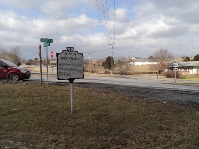
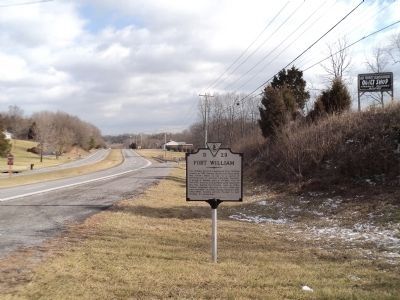
Location. 37° 27.336′ N, 79° 53.423′ W. Marker is in Fincastle, Virginia, in Botetourt County. Marker is at the intersection of Roanoke Road (U.S. 220) and Trinity Road, on the right when traveling north on Roanoke Road. Touch for map. Marker is in this post office area: Fincastle VA 24090, United States of America. Touch for directions.
Other nearby markers. At least 8 other markers are within 6 miles of this marker, measured as the crow flies. Greenfield (approx. 1.6 miles away); Santillane (approx. 2.7 miles away); Fincastle (approx. 3.1 miles away); Botetourt County Courthouse Fire (approx. 3.1 miles away); Breckinridge Mill (approx. 3.3 miles away); Daleville College (approx. 3.9 miles away); Coming of the Railroad (approx. 3.9 miles away); Cloverdale Furnace (approx. 5.9 miles away). Touch for a list and map of all markers in Fincastle.
Credits. This page was last revised on July 3, 2021. It was originally submitted on February 3, 2013, by Bill Coughlin of Woodland Park, New Jersey. This page has been viewed 983 times since then and 205 times this year. Photos: 1, 2, 3. submitted on February 3, 2013, by Bill Coughlin of Woodland Park, New Jersey.


