Cloverdale in Botetourt County, Virginia — The American South (Mid-Atlantic)
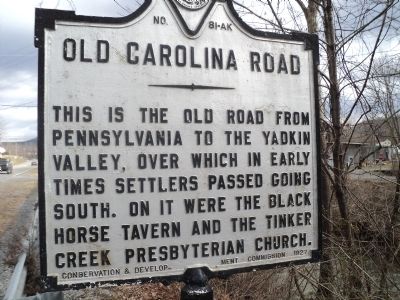
Old Carolina Road
Erected 1927 by Conservation & Development Commission. (Marker Number A-81.)
Topics and series. This historical marker is listed in these topic lists: Colonial Era • Roads & Vehicles • Settlements & Settlers. In addition, it is included in the Virginia Department of Historic Resources (DHR) series list.
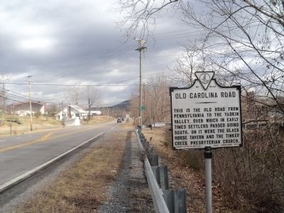
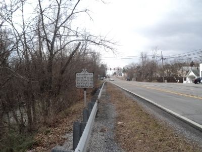
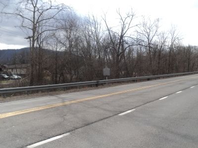
Location. 37° 22.198′ N, 79° 54.474′ W. Marker is in Cloverdale, Virginia, in Botetourt County. Marker is on Lee Hwy (U.S. 11) south of 2nd Avenue, on the right when traveling north. Touch for map. Marker is in this post office area: Cloverdale VA 24077, United States of America. Touch for directions.
Other nearby markers. At least 8 other markers are within 5 miles of this marker, measured as the crow flies. Cloverdale Furnace (approx. 0.2 miles away); Roanoke County / Botetourt County (approx. 1.6 miles away); Hollins College (approx. 2.2 miles away); Daleville College (approx. 2.3 miles away); Botetourt County / Roanoke County (approx. 3.7 miles away); Greenfield (approx. 4˝ miles away); Dr. William Fleming (approx. 4˝ miles away); Mount Moriah Baptist Church (approx. 4.7 miles away).
More about this marker. While the marker number shown on the face of this marker is 41-AK, this marker is numbered A-41 in the latest Virginia historic marker guides and lists.
Credits. This page was last revised on July 3, 2021. It was originally submitted on February 3, 2013, by Bill Coughlin of Woodland Park, New Jersey. This page has been viewed 795 times since then and 35 times this year. Photos: 1, 2, 3, 4. submitted on February 3, 2013, by Bill Coughlin of Woodland Park, New Jersey.


