Huntersville in Mecklenburg County, North Carolina — The American South (South Atlantic)
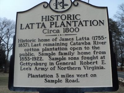
Historic Latta Plantation
Plantation 3 miles west on
Sample Road.
Topics. This historical marker is listed in these topic lists: Colonial Era • War, US Civil. A significant historical year for this entry is 1853.
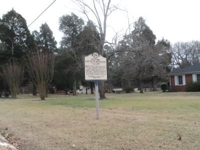
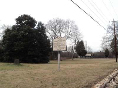
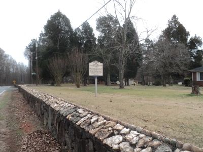
Location. 35° 21.936′ N, 80° 53.943′ W. Marker is in Huntersville, North Carolina, in Mecklenburg County. Marker is at the intersection of Beatties Ford Road and Sample Road, on the left when traveling north on Beatties Ford Road. Touch for map. Marker is in this post office area: Huntersville NC 28078, United States of America. Touch for directions.
Other nearby markers. At least 8 other markers are within walking distance of this marker. The Church Building (within shouting distance of this marker); William Lee Davidson (within shouting distance of this marker); General William Lee Davidson (within shouting distance of this marker); William Graham (within shouting distance of this marker); In Memory of the Revolutionary War Patriots of Hopewell Presbyterian Church (within shouting distance of this marker); The Oldest Cemetery and the Walls (within shouting distance of this marker); William Bain Alexander (within shouting distance of this marker); John McKnitt Alexander (within shouting distance of this marker). Touch for a list and map of all markers in Huntersville.
Credits. This page was last revised on June 16, 2016. It was originally submitted on February 4, 2013, by Bill Coughlin of Woodland Park, New Jersey. This page has been viewed 785 times since then and 30 times this year. Photos: 1, 2, 3, 4. submitted on February 4, 2013, by Bill Coughlin of Woodland Park, New Jersey.


