Crater Lake in Klamath County, Oregon — The American West (Northwest)
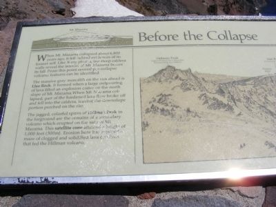
Before the Collapse
Mount Mazama
— Crater Lake National Park —
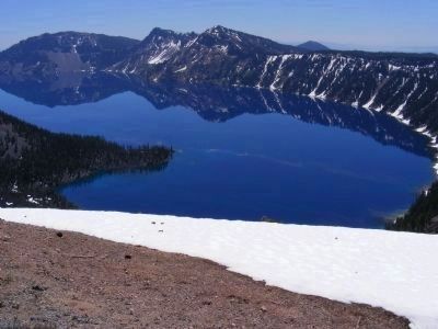
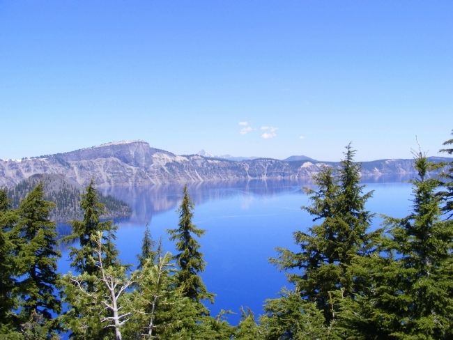
The massive gray monolith on the rim ahead is Llao Rock. It formed when a large outpouring of lava filled an explosion crater on the north slope of Mt. Mazama. When Mt. Mazama collapsed, part of the hardened lava flow broke off and fell into the caldera, leaving the downslope portion perched on the rim.
The jagged, colorful spires of Hillman Peak in the foreground are the remains of a secondary volcano which erupted on the side of Mt. Mazama. This satellite cone attained a height of 1,000 feet (300m). Erosion here has exposed a maze of clogged and solidified lava conduits that fed the Hillman volcano.
Erected by National Park Service.
Topics. This historical marker is listed in these topic lists: Environment • Natural Features.
Location. 42° 54.78′ N, 122° 8.496′ W. Marker is in Crater Lake, Oregon, in Klamath County. Marker can be reached from Rim Drive, on the right when traveling north. Marker is located within the boundaries of Crater Lake National Park, at a lookout on the western side of Crater Lake. Touch for map. Marker is in this post office area: Crater Lake OR 97604, United States of America. Touch for directions.
Other nearby markers. At least 6 other markers are within 8 miles of this marker, measured as the crow flies. After the Collapse (here, next to this marker); Stephen Tyng Mather (approx. 0.2 miles away); Glacial Valleys (approx. ¼ mile away); Whitebark Pines (approx. 5 miles away); Ancient Spirits (approx. 5.3 miles away); Pumice Desert (approx. 8 miles away).
Also see . . . Before the Collapse. A waymarking.com posting with photos of the marker and additional information. (Submitted on March 3, 2013.)
Credits. This page was last revised on April 14, 2020. It was originally submitted on February 8, 2013, by Don Morfe of Baltimore, Maryland. This page has been viewed 508 times since then and 15 times this year. Photos: 1. submitted on April 14, 2020. 2, 3, 4. submitted on February 8, 2013, by Don Morfe of Baltimore, Maryland. • Syd Whittle was the editor who published this page.


